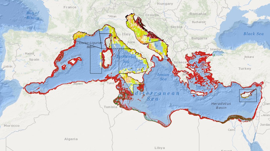
MEDSEA_CH5_Product_5 / Change level of disturbance from VMS data combined with habitat vulnerability
to deliver maps showing the extent of the trawling fishing grounds for identifying the changes in level of disturbance over the past ten years and identifying the gaps of fishing vessels’ tracking systems in the Mediterranean Sea
Citation proposalProposition de citation
Anna Nora Tassetti, Carmen Ferra, Giulio Pellini, Giuseppe Scarcella, Gianna Fabi (2016).MEDSEA_CH5_Product_5 / Change level of disturbance from VMS data combined with habitat vulnerability.EMODnet Medsea Checkpoint
https://doi.org/10.12770/4668c67c-cff7-4d0b-be11-356ccf256963
accessData
Overviews
Spatial extent
)))