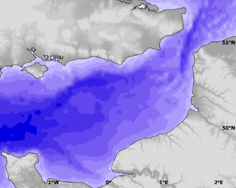
Physical environment - Modelled depth data (bathymetry plus sea level)
Depth is here bathymetry plus mean sea level. It adds the bathymetry raster to that of mean sea level. Depth is more relevant than bathymetry alone for ecological point of view. Used as layer for habitat
)))