Atlas of Multi-Source Earth Observations over Arctic Polar Lows (2010-2018) for ESA MAXSS Project
The primary objective of the ESA Marine Atmosphere eXtreme Satellite Synergy (MAXSS) project is to provide guidance and innovative methodologies to maximize the synergetic use of available Earth Observation data (satellite, in situ) to improve understanding about the multi-scale dynamical characteristics of extreme air-sea interaction.
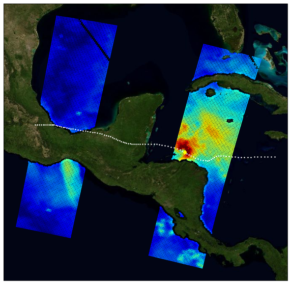
This dataset, produced in the frame of MAXSS project, provides multi-variate observations for Arctic polar lows (PL), for a selection of storm tracks extracted from Rojo et al (2019) during the period 2010-2018. The observations are taken from more than 35 satellite, numerical model and in situ sources, providing the inner and surface ocean conditions for a comprehensive range of parameters (sea surface height, surface winds, waves, precipitation, temperature, salinity, ocean colour, ...) before, during and after the storm passage. Different colocation radii and time windows are used depending on the parameter and observation dataset.
The assembled data are stored in a standardized NetCDF4 file format and organised per basin, year, and storm name to ease data manipulation for users that are not used to work with this wealth of data.
Simple
Identification info
- Date (Creation)
- 2023-01-23
- Date (Publication)
- 2023-03-29
- Citation identifier
- MAXSS-ATLAS-PL-ROJO-v1.0
- Status
- Completed
- Point of contact
-
Organisation Individual Electronic mail address ORCID Role CERSAT Help Desk
Point of contact Ifremer/CERSAT > Satellite Data Processing and Distribution Center of the French Research Institute for Exploitation of the Sea
Jean-François Piollé
Principal investigator Ifremer/LOPS > French Research Institute for Exploitation of the Sea, Laboratory for Ocean Physics and Satellite remote sensing
Nicolas Reul
Principal investigator Ifremer/LOPS > French Research Institute for Exploitation of the Sea, Laboratory for Ocean Physics and Satellite remote sensing
Clément de Boyer-Montégut
Principal investigator Ifremer/CERSAT > Satellite Data Processing and Distribution Center of the French Research Institute for Exploitation of the Sea
Distributor ESA/ESRIN > European Space Agency, European Space Research Institute, Frascati Italy
Funder
- Spatial representation type
- Grid
- Temporal resolution
-
P0Y0M0DT0H0M0S
- Topic category
-
- Oceans
Extent
))
Extent
- Time period
- 2010-01-01 2020-12-31
- GEMET - INSPIRE themes, version 1.0
-
-
Oceanographic geographical features
-
- Cersat - Parameter
-
-
Ocean Winds
-
Precipitation
-
Atmospheric Surface Pressure
-
Ocean Waves
-
Sea Surface Topography
-
Ocean Temperature
-
Salinity
-
- Cersat - Latency
-
-
Historical
-
- Cersat - GCMD parameter
-
-
/Salinity
-
/Ocean Temperature
-
/Ocean Chemistry/Chlorophyll
-
/Ocean Pressure/Sea Level Pressure
-
/Ocean Waves/Wave Speed/Direction
-
/Ocean Optics/Ocean Color
-
/Ocean Waves/Significant Wave Height
-
/Ocean Heat Budget/Evaporation
-
/Sea Surface Topography/Sea Surface Height
-
/Ocean Winds/Surface Winds
-
- Centre de données ODATIS
-
-
CDS-SAT-CERSAT
-
- ODATIS aggregation parameters and Essential Variable names
-
-
Wind
-
Sea temperature
-
Waves
-
Sea surface height
-
Atmospheric pressure
-
Salinity
-
Pigments
-
Ocean colour
-
Resource constraints
- Use limitation
-
None
- Access constraints
- Unrestricted
- Use constraints
- Other restrictions
- Other constraints
- CC-BY (Creative Commons - Attribution)
- Other constraints
-
Piolle JF, Reul N, De Boyer C, Ifremer / CERSAT. 2023. Atlas of multi-source earth observations over Arctic polar lows for the time period 2010-2018 (v1.0) for ESA Marine Atmosphere eXtreme Satellite Synergy project (MAXSS). Ver. 1.0. Ifremer, Plouzane, France. Dataset accessed [YYYY-MM-DD].
Associated resource
- Association Type
Content Information
- Processing level code
- L2/L3/L4
Distribution Information
- Distribution format
-
-
NetCDF
-
- Distributor contact
-
Organisation Individual Electronic mail address ORCID Role
OnLine resource
- Function
- OnLine resource
-
Ifremer HTTPS server
- OnLine resource
-
Ifremer FTP server
FTP
- OnLine resource
-
Local path on Datarmor
Local path
- OnLine resource
-
Data Visualization
- OnLine resource
-
Digital Object Identifier (DOI)
Data quality info
- Hierarchy level
- Dataset
Reference System Information
- Reference system identifier
- http://www.opengis.net/def/crs/EPSG/0/4326
- Hierarchy level
Extent
- Instrument
-
Instrument Platform
Metadata
- Metadata identifier
- urn:uuid/023b9fe2-7e79-41a3-b87b-51b031a23507
- Language
- English
- Character encoding
- UTF8
- Contact
-
Organisation Individual Electronic mail address ORCID Role CERSAT Exploitation
Editor
Type of resource
- Resource type
- Dataset
- Metadata linkage
-
https://sextant-test.ifremer.fr/geonetwork/srv/api/records/c37b183e-0257-401d-b09d-3e8b0697887f
- Date info (Revision)
- 2023-04-27T15:13:43.957Z
- Date info (Creation)
- 2023-04-27T14:50:01.532Z
Metadata standard
- Title
-
ISO 19115-3:2018 - Remote Sensing
accessData
Overviews
Spatial extent
)))