Administrative units | Natura2000 spatial extent | European Environment Agency | Natura2000
Simple
Identification info
- Alternate title
-
Natura2000
- Date
- Citation identifier
- Administrative units | Natura2000 spatial extent | European Environment Agency | Natura2000
- Convention
-
OSPAR threatened and/or declining habitats 2014
- Purpose
-
Natura 2000 is the key instrument to protect biodiversity in the European Union. It is an ecological network of protected areas, set up to ensure the survival of Europe's most valuable species and habitats. Natura 2000 is based on the 1979 Birds Directive and the 1992 Habitats Directive.
- Status
- On going
- Point of contact
-
Organisation Individual Electronic mail address ORCID Role European Environment Agency
EEA
edmerp Originator European Environment Agency
edmo
- Spatial representation type
- Vector
- Topic category
-
- Oceans
Extent
))
Extent
- Time period
- 2016-01-01T00:00:00
Vertical element
- Minimum value
- 0
- Maintenance and update frequency
- Annually
- Used by challenges
-
-
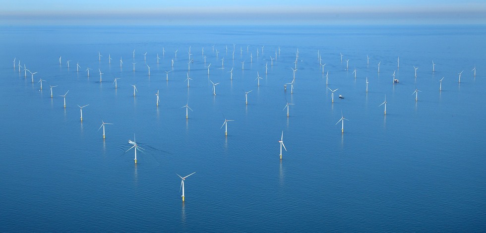
Atlantic - CH01 - Windfarm Siting
-
- Environmental matrix
-
-
Biota - Biology
-
- Production mode
-
-
Delayed
-
- Visibility
-
-
Search via reference catalogue (e.g. MyOcean, GEOSS Geoportal…)
-
- Policy visibility
-
-
There is detailed information provided to understand data policy
-
- Readyness
-
-
Format not proprietary and content clearly specified (e.g. autodescriptive like ODV, NetCDF CF) or at least with appropriate document describing the content
-
- Parameter Discovery Vocabulary (P02)
-
-
Administrative units
-
- GEMET - INSPIRE themes, version 1.0
-
-
Habitats and biotopes
-
- Processing level of characteristics
-
-
High level analyzed
-
- Data delivery mechanisms
-
-
Online discovery + downloading + viewing services (Advanced services)
-
- Parameter Usage Vocabulary (other)
-
-
Natura2000 spatial extent
-
- Agreed Parameter Groups (P03)
-
-
Habitat
-
- Service extent
-
-
The datasets are provided through an EU Inspire catalogue service (OGC)
-
- Validation
-
-
Submitted
-
Resource constraints
- Access constraints
- Other restrictions
- Other constraints
-
Unrestricted
Resource constraints
- Use limitation
-
Open and Free. No charge
- Language
- Français
- Character encoding
- UTF8
- Environment description
-
Offshore Windfarms may pose risks to marine protected areas. Natura2000 polygons will help OWF siting that may mitigate those risks.
Content Information
- Attribute description
- observation
- Content type
- Physical measurement
- Description
-
NA
Distribution Information
- Distribution format
-
-
ESRI Shapefile
-
- OnLine resource
-
Data and maps
- OnLine resource
-
Natura2000_end2016_Shapefile.zip
ATLANTIC_CH01_Product_1 / Map of offshore windfarm siting suitability in the geographic area where waters of France, Ireland and UK meet
))
- Begin date
- 2006-01-01
- End date
- 2015-12-31
Vertical element
- Minimum value
- 0
- Maximum value
- 0
ATLANTIC_CH01_Product_2 / Map of windfarm siting suitability in the area where waters of France and Spain meet in Bay of Biscay on 500 m contour
))
- Begin date
- 2006-01-01
- End date
- 2015-12-31
Vertical element
- Minimum value
- 0
- Maximum value
- 0
ATLANTIC_CH01_Product_3 / Map of windfarm siting suitability in the area of Southern border of Portugal and Spain at 20 m depth
))
- Begin date
- 2006-01-01
- End date
- 2015-12-31
Vertical element
- Minimum value
- 0
- Maximum value
- 0
ATLANTIC_CH01_Product_4 / Map of offshore windfarm siting suitability in the area off S. Miguel Island (Azores archipelago)
))
- Begin date
- 2006-01-01
- End date
- 2015-12-31
Vertical element
- Minimum value
- 0
- Maximum value
- 0
Resource lineage
- Hierarchy level
- Dataset
Spatial representation info
- Dimension name
- Time
- Cell geometry
- Transformation parameter availability
- true
- Check point availability
- true
Metadata
- Metadata identifier
- urn:uuid/09ab0981-436a-440e-a1eb-969b4035884d
- Language
- English
- Character encoding
- UTF8
- Contact
-
Organisation Individual Electronic mail address ORCID Role Instituto Português do Mar e da Atmosfera (IPMA)
Type of resource
- Resource type
- Dataset
- Name
-
Atlantic - CH01 - Windfarm Siting
- Metadata linkage
-
https://sextant.ifremer.fr/geonetwork/srv/eng//metadata/3b298f09-b347-423f-9474-98e34ae4110c
- Metadata linkage
-
https://sextant.ifremer.fr/geonetwork/srv/fre//metadata/3b298f09-b347-423f-9474-98e34ae4110c
- Metadata linkage
-
https://sextant.ifremer.fr/geonetwork/srv/eng//metadata/09ab0981-436a-440e-a1eb-969b4035884d
- Date info (Revision)
- 2018-04-05T12:23:08Z
- Date info (Creation)
- 2014-10-08T14:35:32
Metadata standard
- Title
-
ISO 19115-3 - Emodnet Checkpoint - Upstream Data
- Edition
-
1.0
OSPAR threatened and/or declining habitats 2014
accessData
Overviews
Spatial extent
)))