Industrial activity | Offshore wind farms | The Crown State |
Simple
Identification info
- Date
- Citation identifier
- Industrial activity | Offshore wind farms | The Crown State |
- Convention
-
Offshore Wind (UK)
- Purpose
-
Downloads provide detail on our offshore activities (UK)-Offshore Wind (UK).
- Status
- On going
- Point of contact
-
Organisation Individual Electronic mail address ORCID Role The Crown State
The Crown State
edmerp The Crown State
edmo The Crown State
Originator
- Spatial representation type
- Vector
- Topic category
-
- Oceans
Extent
))
Extent
- Time period
- 2016-12-19
- Maintenance and update frequency
- As needed
- Used by challenges
-
-
Atlantic - CH01 - Windfarm Siting
-
- Environmental matrix
-
-
Human activities
-
- Production mode
-
-
Delayed
-
- Visibility
-
-
Use of open search engines, searching by name either the data provider or the characteristics
-
- Policy visibility
-
-
There is information, but details are available only on request
-
- Readyness
-
-
Format not proprietary and content clearly specified (e.g. autodescriptive like ODV, NetCDF CF) or at least with appropriate document describing the content
-
- Parameter Discovery Vocabulary (P02)
-
-
Industrial activity
-
- GEMET - INSPIRE themes, version 1.0
-
-
Production and industrial facilities
-
- Processing level of characteristics
-
-
High level analyzed
-
- Data delivery mechanisms
-
-
Online discovery + downloading + viewing services (Advanced services)
-
- Parameter Usage Vocabulary (other)
-
-
Offshore wind farms
-
- Agreed Parameter Groups (P03)
-
-
Human activity
-
- Service extent
-
-
The datasets are referenced in a public national catalogue, in an international catalogue service
-
- Validation
-
-
Submitted
-
Resource constraints
- Access constraints
- Other restrictions
- Other constraints
-
Unrestricted
Resource constraints
- Use limitation
-
Open and Free. No charge
- Language
- Français
- Character encoding
- UTF8
- Environment description
-
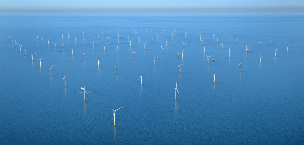
Map provides information on current areal occupation windfarms in UK Continental Shelf windfarms that might conflict with new OWF siting.
Content Information
- Attribute description
- observation
- Content type
- Physical measurement
Distribution Information
- Distribution format
-
-
ESRI Shapefile
-
- OnLine resource
-
Maps and GIS data
- OnLine resource
-
ei-offshore-wind-uk.zip
ATLANTIC_CH01_Product_1 / Map of offshore windfarm siting suitability in the geographic area where waters of France, Ireland and UK meet
))
- Begin date
- 2006-01-01
- End date
- 2015-12-31
Vertical element
- Minimum value
- 0
- Maximum value
- 0
Resource lineage
- Lineage
-
NA
- Hierarchy level
- Dataset
Spatial representation info
- Dimension name
- Time
- Resolution
- 1
- Cell geometry
- Transformation parameter availability
- true
- Check point availability
- true
Metadata
- Metadata identifier
- urn:uuid/1e38c1ee-fbbd-4dfc-9963-98332b935fcf
- Language
- English
- Character encoding
- UTF8
- Contact
-
Organisation Individual Electronic mail address ORCID Role Instituto Português do Mar e da Atmosfera (IPMA)
Type of resource
- Resource type
- Dataset
- Name
-
Atlantic - CH01 - Windfarm Siting
- Metadata linkage
-
https://sextant.ifremer.fr/geonetwork/srv/eng//metadata/87a4e459-410e-45c7-a2f9-5b5f05e8b75b
- Metadata linkage
-
https://sextant.ifremer.fr/geonetwork/srv/eng//metadata/a58b37f8-7b2a-463f-85c3-00dcb5c8fde0
- Metadata linkage
-
https://sextant.ifremer.fr/geonetwork/srv/eng//metadata/1e38c1ee-fbbd-4dfc-9963-98332b935fcf
- Date info (Revision)
- 2018-04-03T11:47:58Z
- Date info (Creation)
- 2014-10-08T14:35:32
Metadata standard
- Title
-
ISO 19115-3 - Emodnet Checkpoint - Upstream Data
- Edition
-
1.0
Offshore Wind (UK)
accessData
Overviews
Spatial extent
)))