Mozambique area (M)SLA - (Map of) Sea Level Anomalies & geostrophic velocity anomalies
Ssalto/Duacs multimission altimeter products
Simple
- Title
-
Mozambique area (M)SLA - (Map of) Sea Level Anomalies & geostrophic velocity anomalies
- Date (Creation)
- 2011-01-01
- Abstract
-
Ssalto/Duacs multimission altimeter products
- Credit
-
EUMETCAST
- Point of contact
-
Organisation name Individual name Electronic mail address Role CNES
EUMETCAST
Local service desk
-
Centre de données ODATIS
-
-
CDS-AVISO
-
- Keywords
-
-
Type de jeux de donnée ODATIS
-
-
/Observational data/satellite
-
-
Processing level
-
-
Level 4
-
Level 3
-
-
ODATIS aggregation parameters and Essential Variable names
-
-
Sea surface height
-
Currents
-
- Use limitation
- Licence ouverte
- Access constraints
- Other restrictions
- Use constraints
- Other restrictions
- Other legal constraints
-
Les conditions spécifiques de la licence sont détaillés dans https://www.aviso.altimetry.fr/fileadmin/documents/data/License_Aviso.pdf
- Spatial representation type
- Grid
- Language
- Français
- Character set
- UTF8
- Topic category
-
- Oceans
))
- Begin date
- 2011-01-01
- Geometric object type
- Complex
- Distribution format
-
Name Version NetCDF
3
- OnLine resource
- Hierarchy level
- Dataset
- Statement
-
Contents: multimission sea surface heights computed with respect to a twenty-year mean, along-track or gridded with a 1/8°x1/8° spatial resolution on a cartesiangrid.
Use: regional studies; ocean variability (mesoscale circulation, seasonal variation...), including operational oceanography (near-real time products)
Condition of access: Ssalto/Duacs gridded geostrophic velocities products are devoted to scientific applications and non-commercial use (conditions of use are detailed in the licence agreement). All Ssalto/Duacs product users need an account, see Access to Ssalto/Duacs data.
Data access service: see Data access service. FTP delivers the gridded and along-track data (the most recent data day-0 in NRT). Whereas the Opendap/geographic-temporal extraction tool/LAS only delivers gridded data more than one month.
Description: regional product resulting from specific processes, available in near-real time.
For gridded merged data, each map represents the sea state for a given day as a snapshot of the ocean. A formal mapping error variable is also available in the MSLA file. Geostrophic velocity anomalies are delivered in a specific file.
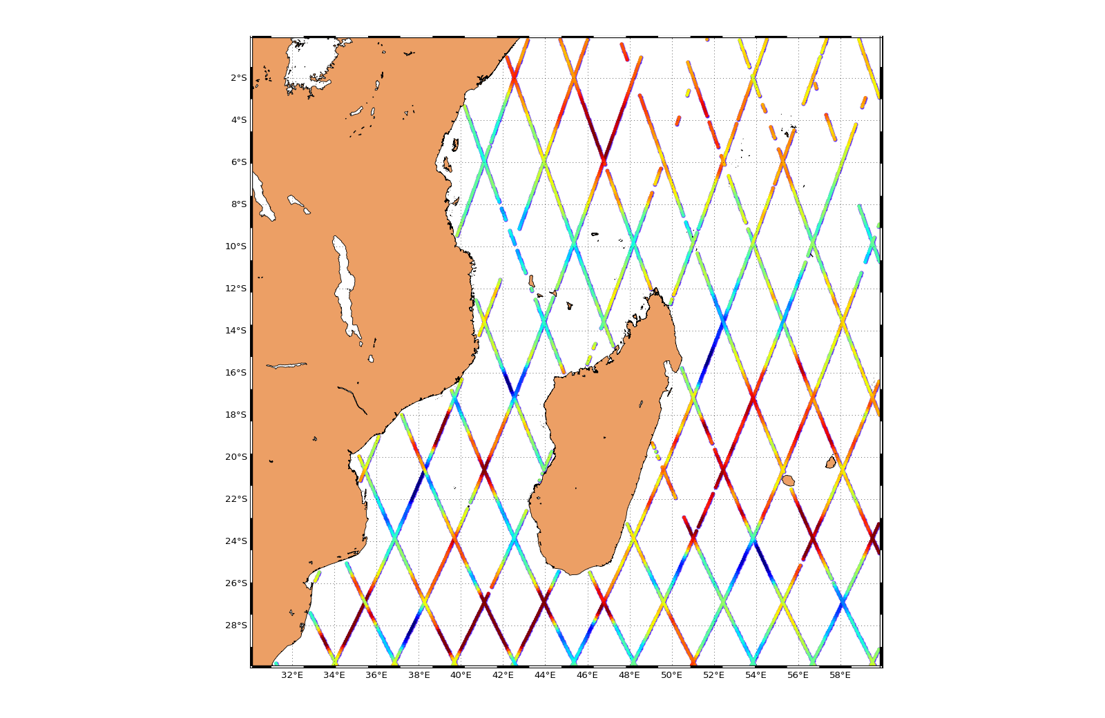
Geographic coverage: Mozambique area (30.0625°E, 59.9375°E / -29.9375°S)
Metadata
- File identifier
- 284d6b0e-06e1-4a56-b612-01c4c61f2295
- Metadata language
- Français
- Other language
-
Language Character encoding English UTF8
- Character set
- UTF8
- Hierarchy level
- Dataset
- Date stamp
- 2025-02-24T13:23:43.25295Z
- Metadata standard name
-
ISO 19115:2003/19139 - SEXTANT
- Metadata standard version
-
1.0
accessData
Overviews
)))