Aquaculture ponds integrated activity indicator based on VHR images
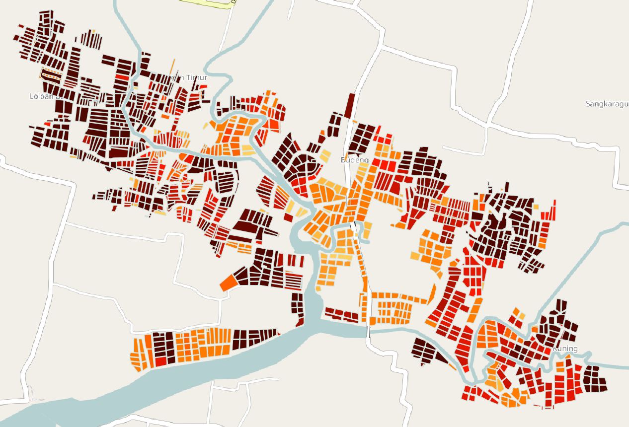
This data represents an aquaculture ponds integrated activity indicator based on VHR satellite imagery analysis. It was obtained by aggregation of different visual indicators : water, bridge, vegetation, aerator) on several images acquired between 2001 and 2015.
This study was conducted in Perancak, Bali, Indonesia
Simple
- Title
-
Aquaculture ponds integrated activity indicator based on VHR images
- Date (Creation)
- 2016-06-01
- Date (Publication)
- 2016-10-26
- Citation identifier
- IFR_NEW_CAL_INDESO_TAMBAK_PERANCAK_INDICATOR_INTEG
- Abstract
-
This data represents an aquaculture ponds integrated activity indicator based on VHR satellite imagery analysis. It was obtained by aggregation of different visual indicators : water, bridge, vegetation, aerator) on several images acquired between 2001 and 2015.
This study was conducted in Perancak, Bali, Indonesia
- Credit
-
IFREMER
- Status
- On going
- Point of contact
-
Organisation name Individual name Electronic mail address Role Ifremer
Local service desk Ifremer - CLS
Gusmawati NF.
Author
- Maintenance and update frequency
- As needed
-
GEMET - INSPIRE themes, version 1.0
-
-
Agricultural and aquaculture facilities
-
- Place
-
-
Perancak
-
-
Continents, countries, sea regions of the world.
-
-
Indonesia
-
- Use limitation
-
Restricted use for indeso project
- Access constraints
- Intellectual property rights
- Use constraints
- Restricted
- Spatial representation type
- Vector
- Denominator
- 2000
- Language
- Français
- Character set
- UTF8
- Topic category
-
- Farming
- Begin date
- 2001-10-01
- End date
- 2015-04-30
))
- Reference system identifier
- EPSG / WGS 84 / UTM zone 50S (EPSG:32750) / 7.9
- Topology level
- Geometry only
- Geometric object type
- Surface
- Geometric object count
- 1352
- Distribution format
-
Name Version ESRI Shapefile
10
- Distributor contact
-
Organisation name Individual name Electronic mail address Role Ifremer - Sextant
Production Unit
- Hierarchy level
- Dataset
Conformance result
- Title
-
Inspire specifications
- Date (Creation)
- 2015-01-21
- Explanation
-
Non évalué
- Pass
- Statement
-
Information is obtained by aggregation of differents visual indicators (water, bridge, aerator, vegetation) based on a satellite imagery dataset (geoeye, ikonos, worldview)
Metadata
- File identifier
- 35b13ca2-8735-456e-a68e-493017c5f42d
- Metadata language
- Français
- Other language
-
Language Character encoding English
- Character set
- UTF8
- Hierarchy level
- Dataset
- Date stamp
- 2018-01-18T13:13:40
- Metadata standard name
-
ISO 19115:2003/19139 - SEXTANT
- Metadata standard version
-
1.0
- Metadata author
-
Organisation name Individual name Electronic mail address Role Ifremer
Local service desk
accessData
Overviews
)))