Wind strength and direction | Wind speed in the atmosphere | Copernicus Marine Environment Monitoring Service |
Simple
Identification info
- Date
- Citation identifier
- Wind strength and direction | Wind speed in the atmosphere | Copernicus Marine Environment Monitoring Service |
- Convention
-
Global Ocean Wind Observations Climatology REPROCESSED.
- Purpose
-
Global Ocean Daily Gridded Sea Surface Winds from Scatterometer. Global Ocean Wind Observations Climatology REPROCESSED (Monthly means) (2007-2012) .
- Status
- On going
- Point of contact
-
Organisation Individual Electronic mail address ORCID Role European Earth observation programme
Copernicus
edmerp Copernicus Marine Environment Monitoring Service
edmo IFREMER-Centre ERS d'Archivage et de Traitement) / Laboratory
Originator
- Spatial representation type
- Vector
Spatial resolution
- Spatial resolution
- 25 km
- Topic category
-
- Oceans
Extent
))
- Maintenance and update frequency
- Not planned
- Used by challenges
-
-
Atlantic - CH01 - Windfarm Siting
-
- Environmental matrix
-
-
Air
-
- Production mode
-
-
Delayed
-
- Visibility
-
-
Search via reference catalogue (e.g. MyOcean, GEOSS Geoportal…)
-
- Policy visibility
-
-
There is detailed information provided to understand data policy
-
- Readyness
-
-
Format proprietary but content clearly specified
-
- Parameter Discovery Vocabulary (P02)
-
-
Wind strength and direction
-
- GEMET - INSPIRE themes, version 1.0
-
-
Meteorological geographical features
-
- Processing level of characteristics
-
-
High level analyzed
-
- Data delivery mechanisms
-
-
Online discovery + downloading + viewing services (Advanced services)
-
- Parameter Usage Vocabulary (P01)
-
-
Wind speed in the atmosphere
-
- Agreed Parameter Groups (P03)
-
-
Meteorology
-
- Service extent
-
-
The datasets are provided through an EU Inspire catalogue service (OGC)
-
- Validation
-
-
Submitted
-
Resource constraints
- Access constraints
- Other restrictions
- Other constraints
-
Unrestricted
Resource constraints
- Use limitation
-
Open and Free. No charge
- Language
- Français
- Character encoding
- UTF8
- Environment description
-
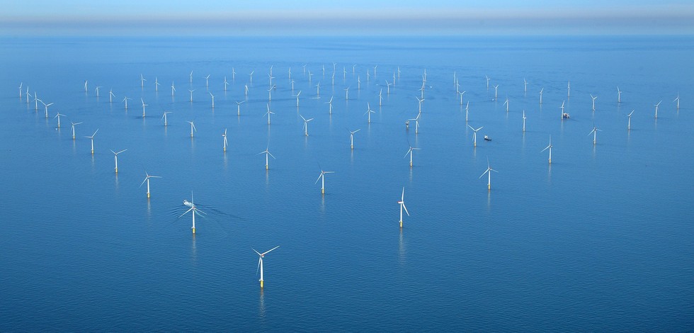
Wind speed rasters will be used as major indicator in fitness for use OWF siting assessment
Content Information
- Attribute description
- observation
- Content type
- Physical measurement
- Description
-
10
Distribution Information
- Distribution format
-
-
NetCDF
-
- OnLine resource
-
ONLINE CATALOGUE
- OnLine resource
-
WIND_GLO_WIND_L4_REP_OBSERVATIONS_012_003
ATLANTIC_CH01_Product_1 / Map of offshore windfarm siting suitability in the geographic area where waters of France, Ireland and UK meet
))
- Begin date
- 2006-01-01
- End date
- 2015-12-31
Vertical element
- Minimum value
- 10
- Maximum value
- 150
ATLANTIC_CH01_Product_2 / Map of windfarm siting suitability in the area where waters of France and Spain meet in Bay of Biscay on 500 m contour
))
- Begin date
- 2006-01-01
- End date
- 2015-12-31
Vertical element
- Minimum value
- 10
- Maximum value
- 150
ATLANTIC_CH01_Product_3 / Map of windfarm siting suitability in the area of Southern border of Portugal and Spain at 20 m depth
))
- Begin date
- 2006-01-01
- End date
- 2015-12-31
Vertical element
- Minimum value
- 10
- Maximum value
- 150
ATLANTIC_CH01_Product_4 / Map of offshore windfarm siting suitability in the area off S. Miguel Island (Azores archipelago)
))
- Begin date
- 2006-01-01
- End date
- 2015-12-31
Vertical element
- Minimum value
- 10
- Maximum value
- 150
Resource lineage
- Hierarchy level
- Dataset
Spatial representation info
- Dimension name
- Time
- Resolution
- 1 month
- Cell geometry
- Transformation parameter availability
- true
- Check point availability
- true
Metadata
- Metadata identifier
- urn:uuid/43bc0ba3-defe-4ae9-8afd-4459a4e2f0b8
- Language
- English
- Character encoding
- UTF8
- Contact
-
Organisation Individual Electronic mail address ORCID Role Instituto Português do Mar e da Atmosfera (IPMA)
Type of resource
- Resource type
- Series
- Name
-
Atlantic - CH01 - Windfarm Siting
- Metadata linkage
-
https://sextant.ifremer.fr/geonetwork/srv/eng//metadata/43bc0ba3-defe-4ae9-8afd-4459a4e2f0b8
- Date info (Revision)
- 2018-04-01T08:31:04Z
- Date info (Creation)
- 2014-10-08T14:35:32
Metadata standard
- Title
-
ISO 19115-3 - Emodnet Checkpoint - Upstream Data
- Edition
-
1.0
Global Ocean Wind Observations Climatology REPROCESSED.
accessData
Overviews
Spatial extent
)))