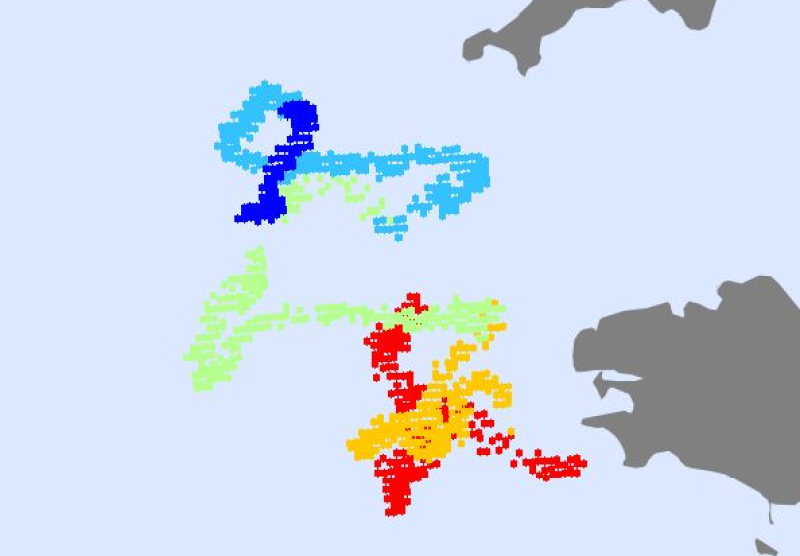
Trajectoire Bouée dérivante B_44780 - Bretagne Sud - spécifique Humboldt
Those ARGO datasets are collected under the Coriolis Operational Oceanography project.
Simple
- Title
-
Trajectoire Bouée dérivante B_44780 - Bretagne Sud - spécifique Humboldt
- Date (Publication)
- 2011-12-23T15:01:00
- Citation identifier
- B_44780_Time
- Presentation form
- Digital map
- Abstract
-
Those ARGO datasets are collected under the Coriolis Operational Oceanography project.
- Purpose
-
Developing continuous, automatic, and permanent observation networks. Mapping water properties, such as temperature, and ocean circulation in order to monitor and forecast the ocean behavior.
- Status
- On going
- Point of contact
-
Organisation name Individual name Electronic mail address Role Cedre
Local service desk
- Maintenance and update frequency
- As needed
-
Thèmes Sextant
-
-
/Activités humaines/Activités scientifiques
-
- Theme
-
-
Coriolis
-
ARGO
-
in situ measurements
-
Provor trajectory
-
operational oceanography
-
ocean circulation
-
- Place
-
-
World
-
-
GEMET - INSPIRE themes, version 1.0
-
-
Caractéristiques géographiques océanographiques
-
- Use limitation
-
By courtesy of Ifremer for use only for the purposes of the Ocean Scenario Demonstrators of the Humboldt project. Fictionnal data not appropriate for other uses.
- Other legal constraints
-
© Ifremer 2010
- Spatial representation type
- Vector
- Language
- Français
- Character set
- UTF8
- Topic category
-
- Oceans
))
- Supplemental Information
-
Contrary to satellite data, in-situ measurement are difficult to access. In fact,y the in-situ measurements are acquired during scientific experiments by different laboratories spread all around the world.
Of course, a lot of measurement exist on the GTS (Global Telecommunication System) but their quality varies.
Fortunately, with GOOS, WMO, IOC, CLIVAR, many international programs try to coordinate and make the in-situ measurement access easier (WOCE, ARGO, JCOMOPS, GOSUD, CLIVAR, Ocean Time Series¿).
In this context, the 7 institutes involved in operational oceanography in France(Cnes, Cnrs, Ifremer, Ipev, Ird, Météo-France, Shom) have decided to create the Coriolis project (2002-2005) in order to :
-organise data collection in real-time and delayed mode of in-situ measurements necessary for operational oceanography,
-set up an operational in-situ data center,
-develop and improve the technology necessary for operational oceanography.
Coriolis is also the French contribution to the international ARGO project and will deploy 250 Provor profilers before the end of 2005.
- Reference system identifier
- 4326
- Topology level
- Geometry only
- Geometric object type
- Complex
Distributor
- Distributor contact
-
Organisation name Individual name Electronic mail address Role Ifremer - Centre de Brest
Dissemination Unit
- Distributor format
-
Name Version
- OnLine resource
-
Protocol Linkage Name OGC:WMS
https://sextant.ifremer.fr/services/wms/humboldt? B_44780_Time
- Hierarchy level
- Dataset
- Statement
-
Non renseignée
Metadata
- File identifier
- 4fbfa8e0-72d7-11df-880e-005056987263
- Metadata language
- Français
- Character set
- UTF8
- Hierarchy level
- Dataset
- Date stamp
- 2020-06-04T00:45:57
- Metadata standard name
-
ISO 19115:2003/19139 - SEXTANT
- Metadata standard version
-
1.0
- Metadata author
-
Organisation name Individual name Electronic mail address Role Cedre
Local service desk
accessData
Overviews
)))