BLACKSEA_CH09_Specification_2 / Yearly mean time series of Water Discharge into Black Sea basin from in situ data (RIVDIS) (1921-1984)
Yearly mean time series of Water Discharge (Qw) [m3/s] into Black Sea basin from in situ data with the temporal general extent of 1921 - 1984:
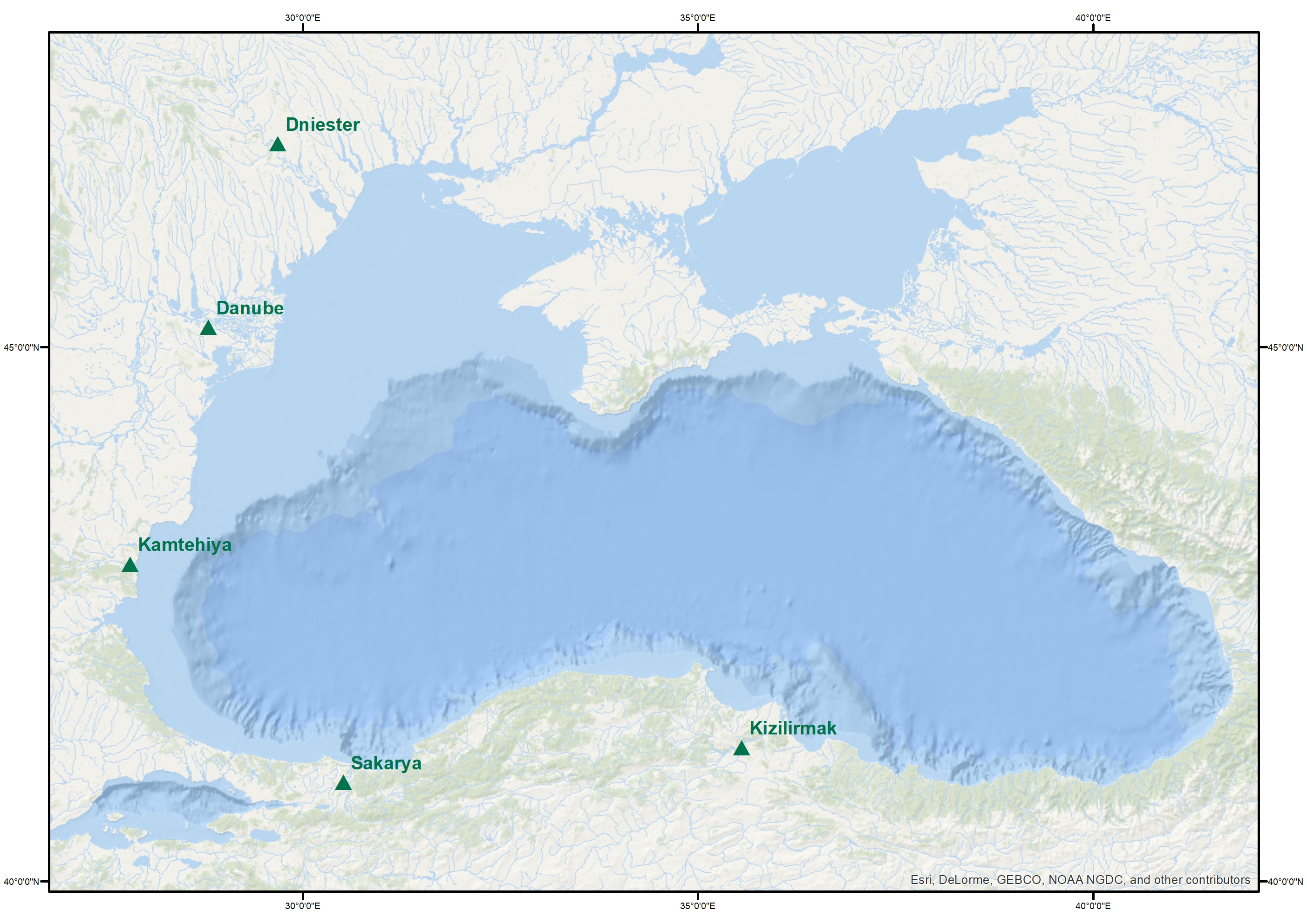
Danube River from 1921-1984
Kamtehiya River from 1965-1979
Kizilirmak River from 1976-1983
Sakarya River from 1976-1983
Dniester River from 1965-1984
Dnieper River from 1952-1984
Simple
Identification info
- Date (Creation)
- 2017-11-27
- Issue identification
-
Not Applicable
- Purpose
-
Yearly mean time series of Water Discharge (Qw) [m3/s] into Black Sea basin from in situ data (RIVDIS) (1921-1984)
- Point of contact
-
Organisation Individual Electronic mail address ORCID Role National Institute for Marine Research and Development "Grigore Antipa"
Point of contact
- Spatial representation type
- Text, table
- Topic category
-
- Oceans
Extent
))
Extent
- Time period
- 1921-01-01 1984-12-31
Vertical element
- Minimum value
- 1
- Maximum value
- 50
- Used by challenges
-
-
BlackSea - CH09 - River Inputs
-
- Processing level of characteristics
-
-
Observation (raw, QC)
-
- Production mode
-
-
Delayed
-
- GEMET - INSPIRE themes, version 1.0
-
-
Hydrography
-
- Validation
-
-
Approved
-
- Language
- English
- Character encoding
- UTF8
Distribution Information
- Distribution format
-
-
Text
-
XLS
-
ESRI Shapefile
-
- Yearly mean time series of Danube Discharge
))
- Begin date
- 1921-01-01
- End date
- 1984-12-31
Vertical element
- Minimum value
- 0
- Maximum value
- 0
- Yearly mean time series of Kamtehiya Discharge
))
- Begin date
- 1965-01-01
- End date
- 1979-12-31
Vertical element
- Minimum value
- 1
- Maximum value
- 50
- Yearly mean time series of Kizilirmak Discharge
))
- Begin date
- 1976-01-01
- End date
- 1983-12-31
Vertical element
- Minimum value
- 1
- Maximum value
- 50
- Yearly mean time series of Sakarya Discharge
))
- Begin date
- 1976-01-01
- End date
- 1983-12-31
Vertical element
- Minimum value
- 1
- Maximum value
- 50
- Yearly mean time series of Dniester Discharge
))
- Begin date
- 1965-01-01
- End date
- 1984-12-31
Vertical element
- Minimum value
- 1
- Maximum value
- 50
- Yearly mean time series of Dnieper Discharge
))
- Begin date
- 1976-01-01
- End date
- 1983-12-31
Vertical element
- Minimum value
- 1
- Maximum value
- 50
Reference System Information
- Reference system identifier
- http://www.opengis.net/def/crs/EPSG/0/4326
Metadata
- Metadata identifier
- urn:uuid/539d095b-4c50-427a-8679-363e5bfb4cf0
- Language
- English
- Character encoding
- UTF8
Type of resource
- Resource type
- Dataset
- Metadata linkage
-
http://localhost:8080/geonetwork/srv/eng//metadata/286d8887-58a5-4562-a0b9-a69b78fced76
- Date info (Revision)
- 2018-04-20T08:53:46Z
- Date info (Creation)
- 2005-03-31T19:13:30
Metadata standard
- Title
-
ISO 19115-3 - Emodnet Checkpoint - Data Product Specification
accessData
Overviews
Spatial extent
)))