EMODNet Geology - Landslides and gravitational features mapped within French metropolitan EEZ
Landslides and gravitational features mapped within French metropolitan EEZ at 1 : 250 000 in the framework of work-package 6 of the european project EMODNet Geology phase 2.
Simple
- Title
-
EMODNet Geology - Landslides and gravitational features mapped within French metropolitan EEZ
- Date (Publication)
- 2017-04-14
- Cited responsible party
-
Organisation name Individual name Electronic mail address Role IFREMER
Simplet Laure
Author European Commission – EMODNet Geology
Publisher Ifremer, Géosciences Marines
Publisher
- Abstract
-
Landslides and gravitational features mapped within French metropolitan EEZ at 1 : 250 000 in the framework of work-package 6 of the european project EMODNet Geology phase 2.
- Credit
-
Ifremer, Université de Bordeaux 1, Université de Bretagne Occidentale, Université de Nice-Sophia Antipolis, Université de Perpignan Via Domitia, Université Paris VI, Université de Caen, MNHN
- Point of contact
-
Organisation name Individual name Electronic mail address Role IFREMER
Simplet Laure
Local service desk
-
Thèmes Sextant
-
-
/Physical Environment/Geology/Geomorphology
-
-
GEMET - INSPIRE themes, version 1.0
-
-
Geology
-
- Theme
-
-
Landslides
-
- Place
-
-
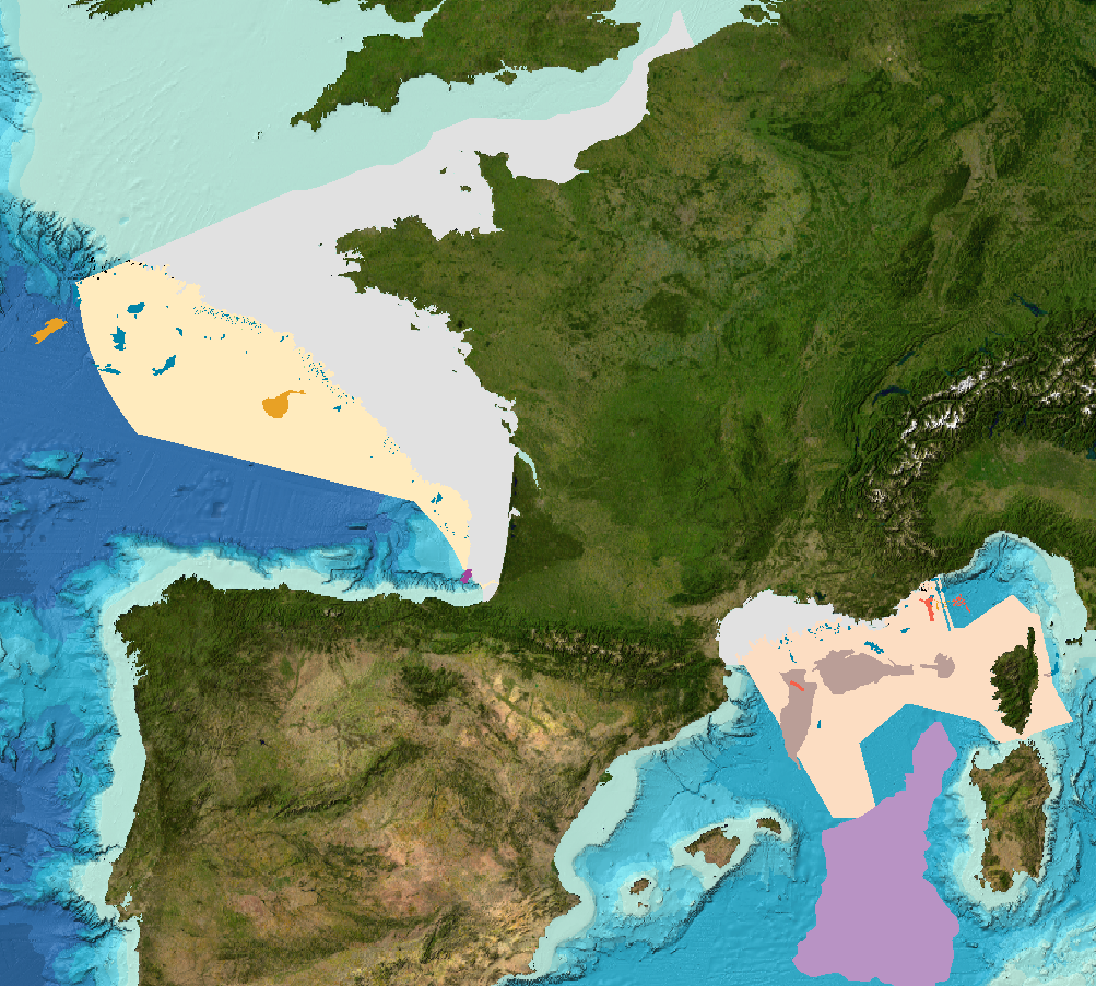
France, metropolitan EEZ
-
English Channel, Bay of Biscay, Mediterranean sea
-
-
Sous-regions marines
-
-
/Metropolitan France
-
-
Thématiques - SIMM
-
-
/Environmental Status/Geology
-
Research
-
-
Type de jeux de donnée ODATIS
-
-
/Processed data/Composite products
-
- Use limitation
-
Données sous Licence Creative Commons - Attribution + Pas d’Utilisation Commerciale + Partage dans les mêmes conditions (BY-NC-SA) : http://creativecommons.fr/licences/
- Access constraints
- Copyright
- Use constraints
- Other restrictions
- Other legal constraints
-
Copyright European Commission – EMODNet Geology
- Spatial representation type
- Vector
- Denominator
- 250000
- Language
- Français
- Character set
- UTF8
- Topic category
-
- Oceans
))
- Supplemental Information
-
Description of attribute table - Shapefile Polygons:
Sls_pol = unique identifier code (two letters country code, which corresponds to ISO3166- code e.g. "IT" plus progressive numbers that identify each spatial occurrence in the map
Age = Indicate geochronologic unit where possible or specify only if it is ancient or recent
Volume = in cubic meters
Thickness : Maximum thickness (in meters) of the displaced mass or, alternatively, evaluated average thickness (maximum or average should be indicated in field "comment")
Type = Type of landslide according to INSPIRE description in slope gravitational (ex. landslide, fall, topple, slide (rotational/translational), flow, deep-seated gravitational slope deformations, complex landslide, turbidity currents, zones of net erosion). The field "comment" can specify if it's burried or out-cropping.
Source_are = Above or below sea level
Lithology = Types of deposits associated with landslides (rock, debris, mud...)
Name = litterature name
Slope grad = slope gradient as a percentage, (Slope=[(min. depth - max. depth)/planimetric distance]*100)
References = bibliographical reference
Comment = free comment and further clarification
Description of attribute table - Shapefile Lines:
Sls_lin = unique identifier code (two letters country code, which corresponds to ISO3166- code e.g. "IT" plus progressive numbers that identify each spatial occurrence in the map
Age = Indicate geochronologic unit where possible or specify only if it is ancient or recent
Scarp length = length (in meter) of the scarp upper boundary
Scarp Height = heigh (in meter) of the scarp.
References = bibliographical reference
Comment = free comment and further clarification
- Reference system identifier
- EPSG / WGS 84 (EPSG:4326) / 8.6
- Geometric object type
- Surface
- Geometric object type
- Curve
- Distribution format
-
Name Version ESRI Shapefile
1.0
- OnLine resource
-
Protocol Linkage Name WWW:LINK
http://www.emodnet.eu/geology EMODNet Geology
WWW:LINK
https://sextant.ifremer.fr/geonetwork/srv/api/records/7afb3e3f-860e-4752-8f49-93d65b13440b/attachments/Bibliographical-References_Lines-Features.pdf Bibliographical References_Lines-Features
WWW:LINK
https://sextant.ifremer.fr/geonetwork/srv/api/records/7afb3e3f-860e-4752-8f49-93d65b13440b/attachments/Bibliographical-References_Polygons-Features.pdf Bibliographical References_Polygons features
- OnLine resource
-
Protocol Linkage Name OGC:WMS
https://sextant.ifremer.fr/services/wms/gm_geologie Glissements_EMODNetGeology2_WP6_2016
OGC:WFS
https://sextant.ifremer.fr/services/wfs/gm_geologie Glissements_EMODNetGeology2_WP6_2016
- OnLine resource
-
Protocol Linkage Name OGC:WMS
https://sextant.ifremer.fr/services/wms/gm_geologie Cicatrices_arrachement_EMODNetGeology2_WP6_2016
OGC:WFS
https://sextant.ifremer.fr/services/wfs/gm_geologie Cicatrices_arrachement_EMODNetGeology2_WP6_2016
- Hierarchy level
- Dataset
- Statement
-
Landslides and gravitational features mapped within French metropolitan EEZ at 1 : 250 000 in the framework of work-package 6 of the european project EMODNet Geology phase 2 ( http://www.emodnet.eu/geology). This map is based on a compilation of published data (scientific articles, Master degree's reports, ...) and/or made free from access for EMODNet project. As no interpretation work has been done on geological data (bathymetric DTM, backscatter, seismic,...), it can't be considered as an exhaustive inventory.
Metadata
- File identifier
- 7afb3e3f-860e-4752-8f49-93d65b13440b
- Metadata language
- Français
- Other language
-
Language Character encoding English UTF8
- Character set
- UTF8
- Hierarchy level
- Dataset
- Date stamp
- 2024-05-16T15:09:03.58Z
- Metadata standard name
-
ISO 19115:2003/19139 - SEXTANT
- Metadata standard version
-
1.0
- Metadata author
-
Organisation name Individual name Electronic mail address Role IFREMER
Simplet Laure
Product manager
accessData
Overviews
)))