Administrative units | Proposed MPAs | COCONET | Proposed MPAs
Simple
Identification info
- Alternate title
-
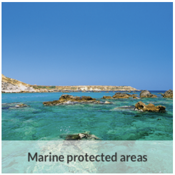
Proposed MPAs
- Date
- Citation identifier
- Administrative units | Proposed MPAs | COCONET | Proposed MPAs
- Convention
-
Protected Sites
- Status
- On going
- Point of contact
-
Organisation Individual Electronic mail address ORCID Role Towards COast to COast NETworks of marine protected areas, Coupled with Sea-based Wind Energy Potential
COCONET
edmerp COCONET
edmo COCONET
Originator
- Spatial representation type
- Vector
- Topic category
-
- Oceans
Extent
))
- Maintenance and update frequency
- Unknown
- Used by challenges
-
-
MedSea - CH02 - Marine Protected Areas
-
- Environmental matrix
-
-
Marine water
-
- Production mode
-
-
Delayed
-
- Parameter Discovery Vocabulary (P02)
-
-
Administrative units
-
- GEMET - INSPIRE themes, version 1.0
-
-
Protected sites
-
- Processing level of characteristics
-
-
Other
-
- Data delivery mechanisms
-
-
Manual process: Order form/invoice is requested
-
- Parameter Usage Vocabulary (other)
-
-
Proposed MPAs
-
- Agreed Parameter Groups (P03)
-
-
Habitat
-
- Service extent
-
-
The datasets are provided through an EU Inspire catalogue service (OGC)
-
- Visibility
-
-
Search via reference catalogue (e.g. MyOcean, GEOSS Geoportal…)
-
- Policy visibility
-
-
There is detailed information provided to understand data policy
-
- Readyness
-
-
Format not proprietary and content clearly specified (e.g. autodescriptive like ODV, NetCDF CF) or at least with appropriate document describing the content
-
Resource constraints
- Access constraints
- Other restrictions
- Other constraints
-
Restricted
Resource constraints
- Use limitation
-
Open and Free. No charge
- Language
- Français
- Character encoding
- UTF8
Content Information
- Attribute description
- observation
- Content type
- Physical measurement
Distribution Information
- Distribution format
-
-
ESRI Shapefile
-
PDF
-
- OnLine resource
-
CoCoNET WEBGIS
- OnLine resource
-
Identifier of the dataset in the catalogue
MEDSEA_CH2_Product_3 / Proposed regional conservation areas in the Mediterranean
))
- Begin date
- 1999-01-01T00:00:00
- End date
- 2014-12-31T00:00:00
Vertical element
- Minimum value
- 0
- Maximum value
- 1
Resource lineage
- Hierarchy level
- Dataset
Spatial representation info
- Axis dimension properties
-
Dimension name Dimension size Resolution Time
- Cell geometry
- Transformation parameter availability
- true
- Check point availability
- true
Metadata
- Metadata identifier
- urn:uuid/830b5c3d-b8a8-4644-8be7-5bc5388c3939
- Language
- English
- Character encoding
- UTF8
- Contact
-
Organisation Individual Electronic mail address ORCID Role Hellenic Centre for Marine Research
Point of contact
Type of resource
- Resource type
- Dataset
- Name
-
MedSea - CH02 - Marine Protected Areas
- Metadata linkage
-
https://sextant.ifremer.fr/geonetwork/srv/eng//metadata/830b5c3d-b8a8-4644-8be7-5bc5388c3939
- Metadata linkage
-
https://sextant.ifremer.fr/geonetwork/srv/fre//metadata/830b5c3d-b8a8-4644-8be7-5bc5388c3939
- Date info (Revision)
- 2017-08-24T12:29:53Z
- Date info (Creation)
- 2015-04-29T11:19:46
Metadata standard
- Title
-
ISO 19115-3 - Emodnet Checkpoint - Upstream Data
- Edition
-
1.0
Protected Sites
accessData
Overviews

Spatial extent
)))