Salinity of the water column | Salinity of the water body | Copernicus Marine Environment Monitoring Service | Atlantic- European North West Shelf- Ocean In-Situ Near Real Time observations
Simple
Identification info
- Alternate title
-
Atlantic- European North West Shelf- Ocean In-Situ Near Real Time observations
- Date
- Citation identifier
- Salinity of the water column | Salinity of the water body | Copernicus Marine Environment Monitoring Service | Atlantic- European North West Shelf- Ocean In-Situ Near Real Time observations
- Convention
-
Atlantic- European North West Shelf- Ocean In-Situ Near Real Time observations
- Purpose
-
For the Northwest-Shelf area the In Situ Thematic Assembly Centre (INS TAC) integrates near real-time in-situ observation data. These data are collected from the NOOS members and complemented by observations collected by the Global INS TAC.
- Status
- On going
- Point of contact
-
Organisation Individual Electronic mail address ORCID Role Copernicus Marine Environment Monitoring Service
CMEMS
edmerp Copernicus Marine Environment Monitoring Service
edmo North West Shelf Operational Oceanographic System members - MyOcean Global In-situ Thematic Assembly Center
Originator
- Spatial representation type
- Vector
Spatial resolution
- Spatial resolution
- 100000 meter
- Topic category
-
- Oceans
Extent
))
Extent
- Time period
- 1970-01-01T00:00:00
Vertical element
- Minimum value
- 0
- Maximum value
- -6000
- Maintenance and update frequency
- Daily
- Used by challenges
-
-
Atlantic - CH08 - Eutrophication
-
- Environmental matrix
-
-
Marine water
-
- Production mode
-
-
Delayed
-
- Visibility
-
-
Search via reference catalogue (e.g. MyOcean, GEOSS Geoportal…)
-
- Policy visibility
-
-
There is detailed information provided to understand data policy
-
- Readyness
-
-
Format not proprietary and content clearly specified (e.g. autodescriptive like ODV, NetCDF CF) or at least with appropriate document describing the content
-
- Parameter Discovery Vocabulary (P02)
-
-
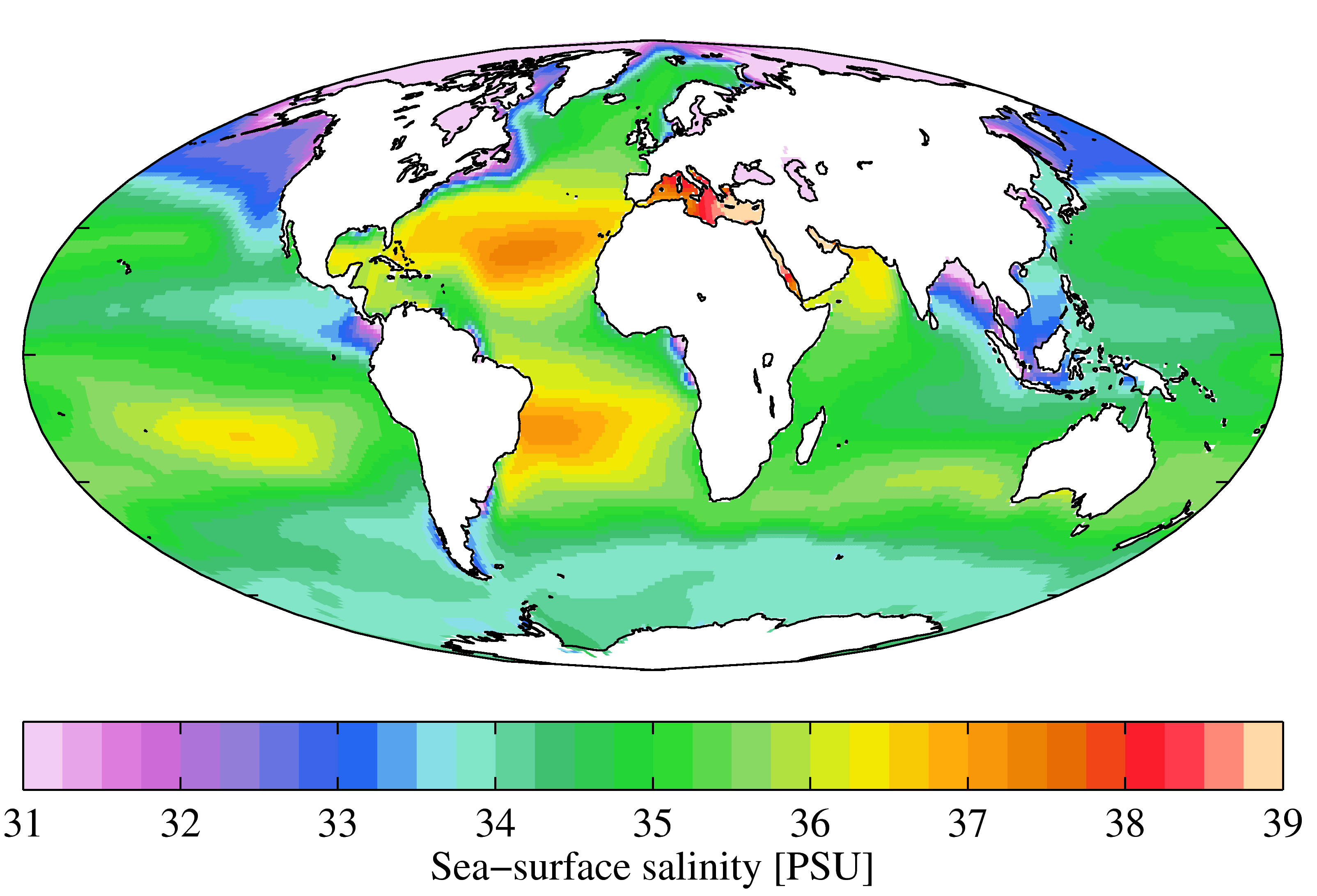
Salinity of the water column
-
- GEMET - INSPIRE themes, version 1.0
-
-
Oceanographic geographical features
-
- Processing level of characteristics
-
-
Observation (raw, QC)
-
- Data delivery mechanisms
-
-
Online discovery + downloading + viewing services (Advanced services)
-
- Parameter Usage Vocabulary (P01)
-
-
Salinity of the water body
-
- Agreed Parameter Groups (P03)
-
-
Water column temperature and salinity
-
- Service extent
-
-
The datasets are provided through an EU Inspire catalogue service (OGC)
-
- Validation
-
-
Submitted
-
Resource constraints
- Access constraints
- Other restrictions
- Other constraints
-
Unrestricted
Resource constraints
- Use limitation
-
Free of charge for academic institutions and uses
- Language
- Français
- Character encoding
- UTF8
- Environment description
-
Potential use of observational data for eutrophication assessment
Content Information
- Attribute description
- observation
- Content type
- Physical measurement
- Description
-
-3160
Distribution Information
- Distribution format
-
-
NetCDF
-
- OnLine resource
-
Copernicus Marine environment monitoring service
- OnLine resource
-
INSITU_NWS_NRT_OBSERVATIONS_013_036
ATLANTIC_CH08_Product_1 / Map of seasonal averages and changes of dissolved oxygen indicator for eutrophication in the past 10 years (2005-2014) for the Atlantic basin
-
Component is not covered because data does not exist
-
Required spatial and temporal coverage for the data did not exist.
))
- Begin date
- 2005-01-01
- End date
- 2014 After
Vertical element
- Minimum value
- 0
- Maximum value
- 0
ATLANTIC_CH08_Product_2 / Map of seasonal averages and changes of Chlorophyll indicator for eutrophication in the past 10 years (2005-2014) in the Atlantic basin
-
Component is not covered because data does not exist
-
Required spatial and temporal coverage for the data did not exist.
))
- Begin date
- 2005
- End date
- 2014 After
Vertical element
- Minimum value
- 0
- Maximum value
- 0
Resource lineage
- Hierarchy level
- Dataset
Spatial representation info
- Number of dimensions
- 1
- Axis dimension properties
-
Dimension name Dimension size Resolution Time 1 day
- Cell geometry
- Transformation parameter availability
- true
- Check point availability
- true
Metadata
- Metadata identifier
- urn:uuid/8dbfd6cd-eb2b-4934-b80c-ba2968e93190
- Language
- English
- Character encoding
- UTF8
- Contact
-
Organisation Individual Electronic mail address ORCID Role CEFAS
Type of resource
- Resource type
- Series
- Name
-
Atlantic - CH08 - Eutrophication
- Metadata linkage
-
https://sextant.ifremer.fr/geonetwork/srv/eng//metadata/8dbfd6cd-eb2b-4934-b80c-ba2968e93190
- Metadata linkage
-
https://sextant.ifremer.fr/geonetwork/srv/fre//metadata/8dbfd6cd-eb2b-4934-b80c-ba2968e93190
- Date info (Revision)
- 2018-03-05T15:52:30Z
- Date info (Creation)
- 2014-10-08T14:35:32
Metadata standard
- Title
-
ISO 19115-3 - Emodnet Checkpoint - Upstream Data
- Edition
-
1.0
Atlantic- European North West Shelf- Ocean In-Situ Near Real Time observations
accessData
Overviews
Spatial extent
)))