ATLANTIC_CH07_Specification_1 / Area where bottom habitat has been disturbed by bottom trawling (number of disturbances per month)
Data from a number of different sources have been integrated to provide new perspectives on fishing activities. Vessel Monitoring Systems (VMS) record and transmit the position and speed of fishing vessels at intervals of two hours or less. Fishing time can be calculated from the VMS data and combining this parameter with vessel logbook data, maps of fishing effort and intensity at different spatial and temporal scales can be calculated. The statistical software package “R” is used to extract the required information then re-interrogated to produce maps of fishing effort or intensity per month and year. The use of Automatic Identification System (AIS) data was not considered as combining AIS data with fisheries logbook data would pose issues namely; the ability of the AIS system to be switched off, only mandatory on vessels > 15 meters in length, cost involved to purchase data, and confidentiality.
Simple
Identification info
- Date (Creation)
- 2017-12-13
- Issue identification
-
Not Applicable
- Purpose
-
To produce map layers showing the extent of the fisheries impact on the sea floor per month
- Point of contact
-
Organisation Individual Electronic mail address ORCID Role Marine Institute
Point of contact
- Spatial representation type
- Vector
- Topic category
-
- Oceans
Extent
))
Extent
- Time period
- 2006 2016
Vertical element
- Minimum value
- 0
- Maximum value
- 1000
- Validation
-
-
Approved
-
- Used by challenges
-
-
Atlantic - CH07 - Fisheries Impact
-
- Processing level of characteristics
-
-
High level analyzed
-
- Production mode
-
-
Delayed
-
- GEMET - INSPIRE themes, version 1.0
-
-
Sea regions
-
- Language
- English
- Character encoding
- UTF8
Distribution Information
- Distribution format
-
-
ESRI Shapefile
-
- OnLine resource
-
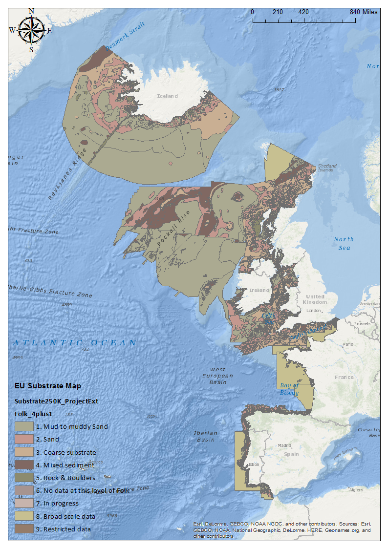
EUNIS_HAB_Map.png
EU Habitat Classification Map
- Fishing Effort (Vessels >15m) from VMS/Logbook data to map activity of bottom fishing (towed gears) in NE Atlantic
))
- Begin date
- 2006
- End date
- 2017After
Vertical element
- Minimum value
- 0
- Maximum value
- 1000
- Area of West African Continent ending at the NE Atlantic extent at the equator
- Begin date
- 2006
- End date
- 2017After
Vertical element
- Minimum value
- 0
- Maximum value
- 1000
- Area covering the Americas from Canada through the US and central America ending at the NE Atlantic extent at the equator.
))
- Begin date
- 2006
- End date
- 2017After
Vertical element
- Minimum value
- 0
- Maximum value
- 1000
Reference System Information
- Reference system identifier
- http://www.opengis.net/def/crs/EPSG/0/4326
Metadata
- Metadata identifier
- urn:uuid/99009eb7-4b93-4a9c-9e4d-65e5f3682956
- Language
- English
- Character encoding
- UTF8
Type of resource
- Resource type
- Dataset
- Metadata linkage
-
http://localhost:8080/geonetwork/srv/eng//metadata/286d8887-58a5-4562-a0b9-a69b78fced76
- Date info (Revision)
- 2018-05-29T12:59:09Z
- Date info (Creation)
- 2005-03-31T19:13:30
Metadata standard
- Title
-
ISO 19115-3 - Emodnet Checkpoint - Data Product Specification
accessData
Overviews
Spatial extent
)))