Mediterráneo zona MED93S
Mediterráneo zona MED93S
Simple
- Title
-
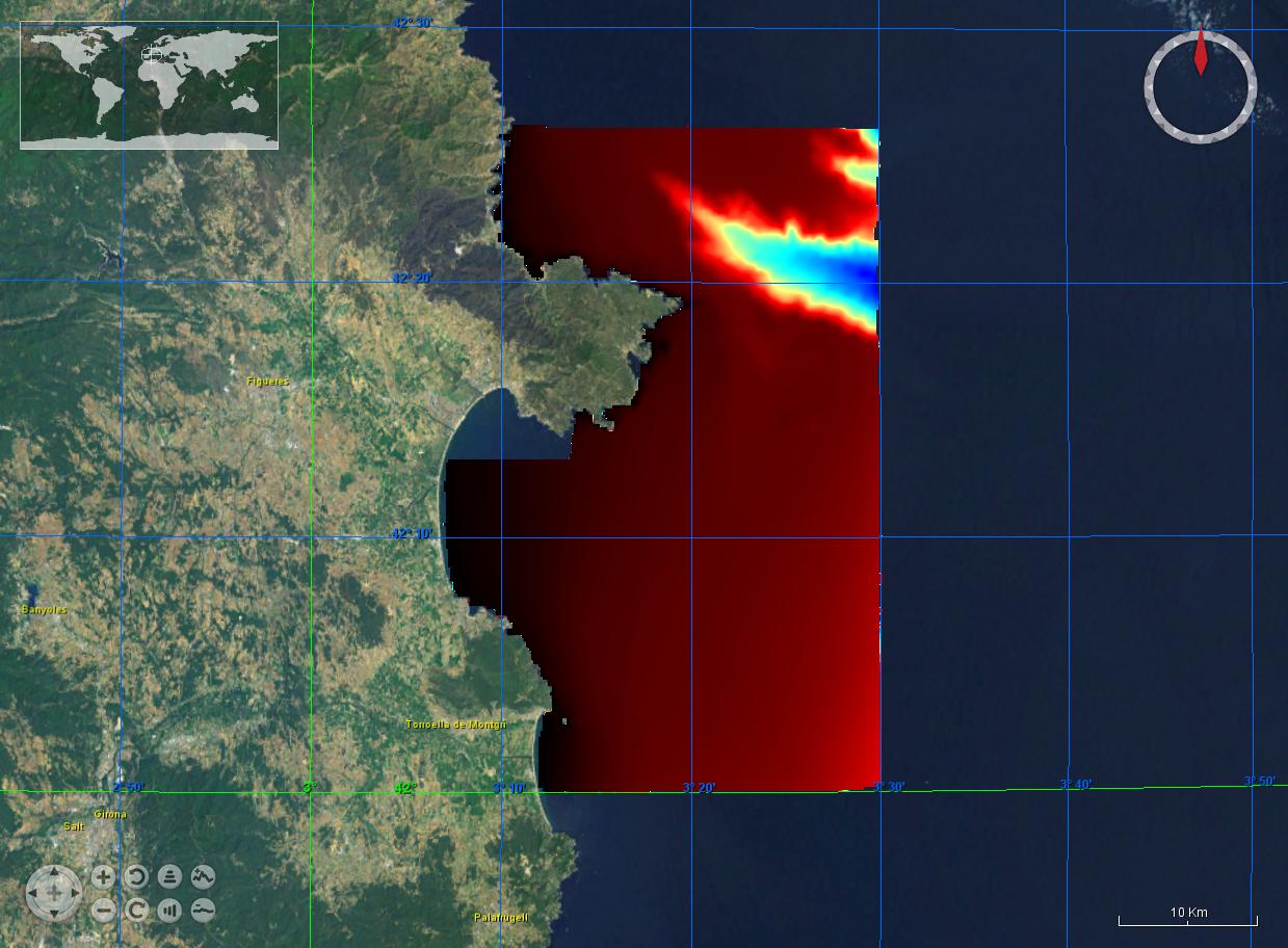
Mediterráneo zona MED93S
- Date (Creation)
- 2014-01-26T00:00:00
- Date (Revision)
- 2014-01-26T00:00:00
- Citation identifier
- MED93S
- Abstract
-
Mediterráneo zona MED93S
- Point of contact
-
Organisation name Individual name Electronic mail address Role Hydrographic Institute of the Navy
Product manager Hydrographic Institute of the Navy
Production center
-
Project name
-
-
EMODNet Hydrography
-
-
SeaDataNet device categories
-
-
single-beam echosounders
-
-
SeaDataNet device categories
-
-
Differential Global Positioning System receivers
-
-
Parameter Discovery Vocabulary (P02)
-
-
Bathymetry and Elevation
-
-
GEMET - INSPIRE themes, version 1.0
-
-
Hydrography
-
- Use limitation
-
Restricted
- Access constraints
- Restricted
- Use constraints
- Restricted
- Other legal constraints
-
Restricted
- Use limitation
-
Restricted
- Spatial representation type
- Grid
- Denominator
- 50000
- Distance
- 231.5 Metres (m)
- Language
- English
- Character set
- UTF8
- Topic category
-
- Oceans
- Begin date
- 1991-01-01T00:00:00
- End date
- 2012-01-07T00:00:00
))
- Geographic identifier
- Mediterranean Sea
- Description
-
WGS 84
- Geographic identifier
- EPSG / WGS 84 (EPSG:4326) / 7.4
- Reference system identifier
- EPSG / WGS 84 (EPSG:4326) / 7.4
- Number of dimensions
- 3
- Dimension name
- Column
- Dimension size
- 208
- Dimension name
- Row
- Dimension size
- 232
- Dimension name
- Time
- Dimension size
- 1
- Cell geometry
- Point
- Transformation parameter availability
- Checkpoint Availability
- Point in Pixel
-
- Center
- Distribution format
-
Name Version Text
1.0
- Distributor contact
-
Organisation name Individual name Electronic mail address Role Hydrographic Institute of the Navy
Dissemination Unit
- Transfer size (in MB)
- 4.1
- OnLine resource
-
Protocol Linkage Name WWW:LINK
hidroihm@fn.mde.es MED93S
- Hierarchy level
- Dataset
Vertical extent
- Minimum value
- 5
- Maximum value
- 797.57
Vertical CRS
Vertical CS
Vertical datum
- Statement
-
no information
- Hierarchy level
- Feature
- Dataset
-
accuracy
Gridded data positional accuracy
- Name of measure
-
horizontal accuracy
- Measure identification
- horizontal accuracy of coordinate
- Measure description
-
Metres
Quantitative result
- Value type
- horizontal accuracy
- Value
- 1.0
Quantitative attribute accuracy
- Name of measure
-
depth
- Measure identification
- depth accuracy
- Measure description
-
Metres
Quantitative result
- Value
- not defined
Conformance result
- Title
-
Shoal bias
- Date
- Pass
- Hierarchy level
- Software
- Description
-
Globe
- Other
-
software
- Hierarchy level
- Property type
- Description
-
parameters of data processing
Attributes
- Statement
-
Description of data processing : single beam echosounder software
- Description
-
Description of processed data sources : single beam echosounder software
Metadata
- File identifier
- SDN_CPRD_1461_MED93S
- Metadata language
- English
- Character set
- UTF8
- Hierarchy level name
-
Product record
- Date stamp
- 2018-09-18T14:19:27
- Metadata standard name
-
ISO 19115:2003/19139 - EMODNET - BATHYMETRY
- Metadata standard version
-
1.0
- Metadata author
-
Organisation name Individual name Electronic mail address Role Hydrographic Institute of the Navy
Author
accessData
Overviews
)))