Norwegian Hydrographic Service, 50m grid in UTM33 converted to geographical coordinates
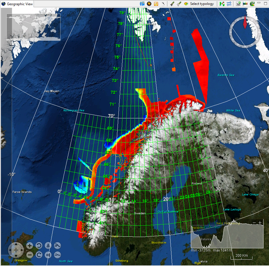
Multibeam surveys by Norwegian Hydrographic Service until February 2016 gridded to 50*50m in UTM33 (north Norway) or UTM32 (South Norway) with Euref 89 as datum. Data established whithin 30*30 minutes cells but tiled into 2*2 degrees tiles. Data extends up to 78,5 degrees N.
Simple
- Title
-
Norwegian Hydrographic Service, 50m grid in UTM33 converted to geographical coordinates
- Alternate title
-
NHS-50m_grid_UTM33
- Date (Creation)
- 2005-01-01T12:00:00
- Date (Revision)
- 2016-02-25T12:00:00
- Citation identifier
- NHS-50m_grid_UTM33
- Abstract
-
Multibeam surveys by Norwegian Hydrographic Service until February 2016 gridded to 50*50m in UTM33 (north Norway) or UTM32 (South Norway) with Euref 89 as datum. Data established whithin 30*30 minutes cells but tiled into 2*2 degrees tiles. Data extends up to 78,5 degrees N.
- Point of contact
-
Organisation name Individual name Electronic mail address Role Norwegian Hydrographic Service
Product manager Norwegian Hydrographic Service
Production center
-
Project name
-
-
EMODNet Hydrography
-
-
Measuring devices
-
-
multi-beam echosounders
-
-
Measuring devices
-
-
NAVSTAR Global Positioning System receivers
-
-
Parameter Discovery Vocabulary (P02)
-
-
Bathymetry and Elevation
-
-
GEMET - INSPIRE themes, version 1.0
-
-
Hydrography
-
- Access constraints
- License
- Use constraints
- Copyright
- Use limitation
-
not to be used for navigation
- Spatial representation type
- Grid
- Denominator
- 25000
- Distance
- 50 Metres (m)
- Language
- English
- Character set
- UTF8
- Topic category
-
- Oceans
- Begin date
- 2005-01-01T12:00:00
- End date
- 2016-02-25T12:00:00
))
- Geographic identifier
- Norwegian Sea
- Description
-
UTM zone 33
- Geographic identifier
- EPSG:4326 / Mercator / 7.4
- Reference system identifier
- EPSG / WGS 84 (EPSG:4326) / 7.4
- Number of dimensions
- 3
- Dimension name
- Column
- Dimension size
- 650
- Dimension name
- Row
- Dimension size
- 11112
- Dimension name
- Time
- Dimension size
- 1
- Cell geometry
- Point
- Transformation parameter availability
- Checkpoint Availability
- Point in Pixel
-
- Center
- Distribution format
-
Name Version Text
ascii
- Distributor contact
-
Organisation name Individual name Electronic mail address Role Norwegian Hydrographic Service
Dissemination Unit
- Transfer size (in MB)
- 5.5
- Hierarchy level
- Dataset
Vertical extent
- Minimum value
- 0.5
- Maximum value
- 3200
Vertical CRS
Vertical CS
Vertical datum
- Statement
-
no information
- Hierarchy level
- Feature
- Dataset
-
accuracy
Gridded data positional accuracy
- Name of measure
-
horizontal accuracy
- Measure identification
- horizontal accuracy of coordinate
- Measure description
-
Estimated at 60 degrees nadir angle, 100m depth, 5 different echosounders
Quantitative result
- Value type
- horizontal accuracy
- Value
- 3m
Quantitative attribute accuracy
- Name of measure
-
depth
- Measure identification
- depth accuracy
- Measure description
-
Estimated at 60 degrees nadir angle, 100m depth, 5 different echosounders:
average depth accuracy: 0,5m, One instance at 1600m: 5m
Quantitative result
- Value
- not defined
Conformance result
- Title
-
Shoal bias
- Date
- Pass
- Hierarchy level
- Software
- Other
-
software
- Hierarchy level
- Property type
- Description
-
parameters of data processing
Attributes
- Statement
-
Description of data processing :
- Description
-
Description of processed data sources : Exist in norwegian, will be translated into English
Metadata
- File identifier
- SDN_CPRD_543_NHS-50m_grid_UTM33
- Metadata language
- English
- Character set
- UTF8
- Hierarchy level name
-
Composite Product Record
- Date stamp
- 2018-03-15T10:43:12
- Metadata standard name
-
ISO 19115:2003/19139 - EMODNET - BATHYMETRY
- Metadata standard version
-
1.0
- Metadata author
-
Organisation name Individual name Electronic mail address Role Norwegian Hydrographic Service
Author
accessData
Overviews
)))