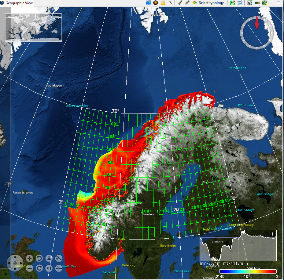
Norway coastal 50 m composite digital terrain model
The dataset was generated late autumn 2015 based on 50m grid generated in UTM zone 33 from Norwegian primary bathymetric data near shore. The new dataset has been tiled into 2*2 degree tiles, and replaces the previous data set based on surveyes before 2004.
Simple
- Title
-
Norway coastal 50 m composite digital terrain model
- Alternate title
-
Norway_kyst_50m
- Date (Creation)
- 2014-01-25T00:00:00
- Date (Revision)
- 2016-01-14T12:00:00
- Citation identifier
- Norway_kyst_50m
- Abstract
-
The dataset was generated late autumn 2015 based on 50m grid generated in UTM zone 33 from Norwegian primary bathymetric data near shore. The new dataset has been tiled into 2*2 degree tiles, and replaces the previous data set based on surveyes before 2004.
- Point of contact
-
Organisation name Individual name Electronic mail address Role Norwegian Hydrographic Service
Product manager Norwegian Hydrographic Service
Production center
-
Project name
-
-
EMODNet Bathymetry
-
-
Measuring devices
-
-
single-beam echosounders
-
multi-beam echosounders
-
-
Measuring devices
-
-
Motorola Mini-Ranger receivers
-
Kinematic Global Positioning System receivers
-
Hyperfix receivers
-
Ultra Short Baseline Positioning Systems
-
-
Parameter Discovery Vocabulary (P02)
-
-
Bathymetry and Elevation
-
-
GEMET - INSPIRE themes, version 1.0
-
-
Hydrography
-
- Use limitation
-
Creative Commons license to apply : Attribution + Non Commercial + No Derivs (BY-NC-ND) : http://creativecommons.org/licenses/?lang=en
- Access constraints
- License
- Use constraints
- Copyright
- Use limitation
-
Creative Commons license to apply : Attribution + Non Commercial + No Derivs (BY-NC-ND) : http://creativecommons.org/licenses/?lang=en
- Spatial representation type
- Grid
- Denominator
- 50000
- Distance
- 50 Metres (m)
- Language
- English
- Character set
- UTF8
- Topic category
-
- Oceans
- Begin date
- 1991-01-01
- End date
- 2006-01-01
))
- Geographic identifier
- Norwegian Sea
- Geographic identifier
- EPSG / wgs84 (EPSG:4326) / 7.4
- Reference system identifier
- EPSG / WGS 84 (EPSG:4326) / 7.4
- Number of dimensions
- 3
- Dimension name
- Time
- Dimension size
- 1
- Cell geometry
- Point
- Transformation parameter availability
- Checkpoint Availability
- Point in Pixel
-
- Center
- Distribution format
-
Name Version Text
1
- Distributor contact
-
Organisation name Individual name Electronic mail address Role Norwegian Hydrographic Service
Dissemination Unit
- Transfer size (in MB)
- 1024
- OnLine resource
-
Protocol Linkage Name WWW:LINK
http://www.statkart.no/eng/Norwegian_Hydrographic_Service/ About Norwegian Hydrographic service (NHS)
- Hierarchy level
- Dataset
Vertical extent
- Minimum value
- 0.5
- Maximum value
- 2000
Vertical CRS
Vertical CS
Vertical datum
- Statement
-
no information
- Hierarchy level
- Feature
- Dataset
-
accuracy
Gridded data positional accuracy
- Name of measure
-
horizontal accuracy
- Measure identification
- horizontal accuracy of coordinate
Quantitative result
- Value type
- horizontal accuracy
- Value
- 5
Quantitative attribute accuracy
- Name of measure
-
depth
- Measure identification
- depth accuracy
Quantitative result
- Value
- not defined
Conformance result
- Title
-
Shoal bias
- Date
- Pass
- Hierarchy level
- Software
- Other
-
software
- Hierarchy level
- Property type
- Description
-
parameters of data processing
Attributes
- Statement
-
Description of data processing :Done by use of TIN models
- Description
-
Description of processed data sources :
Metadata
- File identifier
- SDN_CPRD_543_Norway_kyst_50m
- Metadata language
- English
- Character set
- UTF8
- Hierarchy level name
-
Composite Product Record
- Date stamp
- 2018-03-15T10:43:22
- Metadata standard name
-
ISO 19115:2003/19139 - EMODNET - BATHYMETRY
- Metadata standard version
-
1.0
- Metadata author
-
Organisation name Individual name Electronic mail address Role Norwegian Hydrographic Service
Author
accessData
Overviews
)))