BLACKSEA_CH09_Specification_3 / Time series of daily river discharge at the discharge point into the Black Sea (1981 - 2010) (computed with Hype model)-
River discharge [m3/s] into Black Sea basin from in situ data available based on E-HYPE version:3.1.1 (1981 - 2010), HYPE model version:HYPE 4_10_7, Geographical domain: Drainage basin of Europe ( http://hypeweb.smhi.se/europehype/about/)
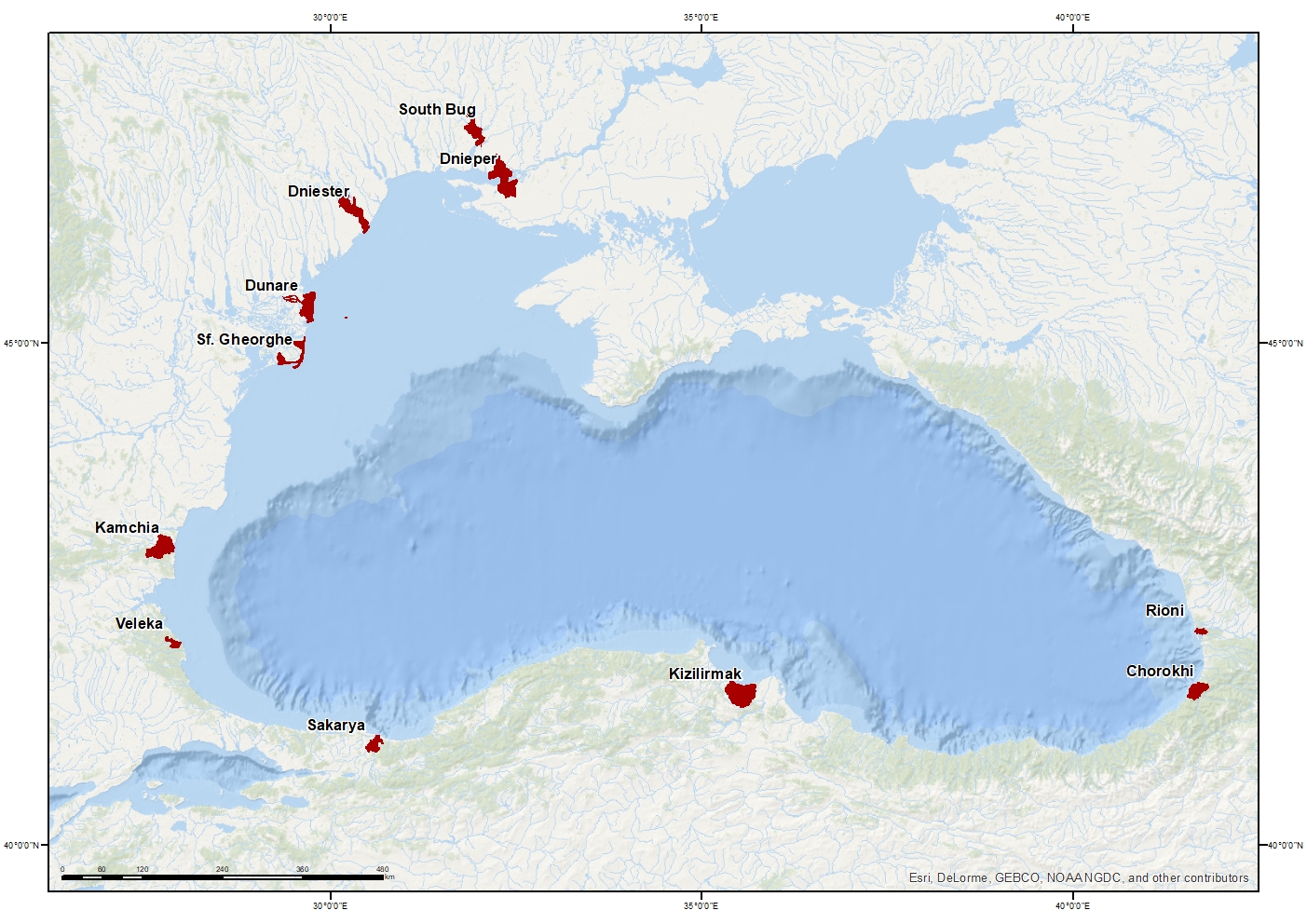
Sakarya River Mouth
Kamchia River Mouth
Dniester River Mouth
Danube River Mouth
Soth Bug River Mouth
Veleka River Mouth
Rioni River Mouth
Chorokhi River Mouth
Sf. Gheorghe River Mouth
Dnieper River Mouth
KizilIrmak River Mouth
Simple
Identification info
- Date (Creation)
- 2017-11-27
- Issue identification
-
Not Applicable
- Purpose
-
Time series of monthly mean river discharge at the discharge point into the Black Sea (1981 - 2010)
- Point of contact
-
Organisation Individual Electronic mail address ORCID Role National Institute for Marine Research and Development "Grigore Antipa"
Point of contact National Institute for Marine Research and Development "Grigore Antipa"
Point of contact
- Spatial representation type
- Text, table
- Topic category
-
- Oceans
Extent
))
Extent
- Time period
- 1981-01-01 2010-12-31
Vertical element
- Minimum value
- 0
- Maximum value
- 0
- Used by challenges
-
-
BlackSea - CH09 - River Inputs
-
- Processing level of characteristics
-
-
Forecast/Hindcast
-
- Production mode
-
-
Delayed
-
- GEMET - INSPIRE themes, version 1.0
-
-
Hydrography
-
- Validation
-
-
Approved
-
- Language
- English
- Character encoding
- UTF8
Distribution Information
- Distribution format
-
-
Text
-
XLS
-
ESRI Shapefile
-
- Sakarya River daily river discharge at the discharge point into the Black Sea (1981 - 2010)
))
- Begin date
- 1981-01-01
- End date
- 2010-12-31 Before
Vertical element
- Minimum value
- 1
- Maximum value
- 50
- Kamchia River daily river discharge at the discharge point into the Black Sea (1981 - 2010)
))
- Begin date
- 1981-01-01
- End date
- 2010-12-31 Before
Vertical element
- Minimum value
- 1
- Maximum value
- 50
- Dnister River daily river discharge at the discharge point into the Black Sea (1981 - 2010)
))
- Begin date
- 1981-01-01
- End date
- 2010-12-31 Before
Vertical element
- Minimum value
- 1
- Maximum value
- 50
- Danube River daily river discharge at the discharge point into the Black Sea (1981 - 2010)
))
- Begin date
- 1981-01-01
- End date
- 2010-12-31 Before
Vertical element
- Minimum value
- 1
- Maximum value
- 50
- South Bug River daily river discharge at the discharge point into the Black Sea (1981 - 2010)
))
- Begin date
- 1981-01-01
- End date
- 2010-12-31 Before
Vertical element
- Minimum value
- 1
- Maximum value
- 50
- Veleka River monthly daily discharge at the discharge point into the Black Sea (1981 - 2010)
))
- Begin date
- 1981-01-01
- End date
- 2010-12-31 Before
Vertical element
- Minimum value
- 1
- Maximum value
- 50
- Rioni River daily river discharge at the discharge point into the Black Sea (1981 - 2010)
))
- Begin date
- 1981-01-01
- End date
- 2010-12-31 Before
Vertical element
- Minimum value
- 1
- Maximum value
- 50
- Chorokhi River daily river discharge at the discharge point into the Black Sea (1981 - 2010)
))
- Begin date
- 1981-01-01
- End date
- 2010-12-31 Before
Vertical element
- Minimum value
- 1
- Maximum value
- 50
- Sf.Gheorghe River daily river discharge at the discharge point into the Black Sea (1981 - 2010)
))
- Begin date
- 1981-01-01
- End date
- 2010-12-31 Before
Vertical element
- Minimum value
- 1
- Maximum value
- 50
- Dniper River daily river discharge at the discharge point into the Black Sea (1981 - 2010)
))
- Begin date
- 1981-01-01
- End date
- 2010-12-31 Before
Vertical element
- Minimum value
- 1
- Maximum value
- 50
- Kizilirmak River monthly mean river discharge at the discharge point into the Black Sea (1981 - 2010)
))
- Begin date
- 1981-01-01
- End date
- 2010-12-31 Before
Vertical element
- Minimum value
- 1
- Maximum value
- 50
Reference System Information
- Reference system identifier
- http://www.opengis.net/def/crs/EPSG/0/4326
Metadata
- Metadata identifier
- urn:uuid/d0576cb3-cb0b-4262-8ece-decf183f83e5
- Language
- English
- Character encoding
- UTF8
Type of resource
- Resource type
- Dataset
- Metadata linkage
-
http://localhost:8080/geonetwork/srv/eng//metadata/286d8887-58a5-4562-a0b9-a69b78fced76
- Date info (Revision)
- 2018-04-20T09:02:39Z
- Date info (Creation)
- 2005-03-31T19:13:30
Metadata standard
- Title
-
ISO 19115-3 - Emodnet Checkpoint - Data Product Specification
accessData
Overviews
Spatial extent
)))