Monomission along-track Corrected Sea Surface Heights - Level-2+ (L2P)
Monomission altimeter product, available for several missions in Near-Real Time (NRT), Short Critical Time (SCT) and Non Time Critical Time (NTC)
Simple
- Title
-
Monomission along-track Corrected Sea Surface Heights - Level-2+ (L2P)
- Date (Creation)
- 2000-01-01
- Abstract
-
Monomission altimeter product, available for several missions in Near-Real Time (NRT), Short Critical Time (SCT) and Non Time Critical Time (NTC)
- Credit
-
AVISO+
- Point of contact
-
Organisation name Individual name Electronic mail address Role CNES
AVISO+
Local service desk
-
Centre de données ODATIS
-
-
CDS-SAT-AVISO
-
- Keywords
-
-
Type de jeux de donnée ODATIS
-
-
/Remote sensing
-
-
Thèmatiques ODATIS
-
-
Remote sensing
-
-
Processing level
-
-
Level 2 P
-
-
Ocean Hackathon - Ville
-
-
La Rochelle
-
-
ODATIS aggregation parameters and Essential Variable names
-
-
Sea surface height
-
- Use limitation
- Licence ouverte
- Access constraints
- License
- Use constraints
- License
- Other legal constraints
-
For Copernicus Sentinel-3 missions & Sentinel-6A Michael Freilich, please refer to the license to explicitly describe the credits according to the use of the product (section 13. License specific to Sentinel-3 L2P products): https://www.aviso.altimetry.fr/fileadmin/documents/data/License_Aviso.pdf
For L2P data from other missions, the conditions of use are standard and described in the same license ( https://www.aviso.altimetry.fr/fileadmin/documents/data/License_Aviso.pdf). Quote: "The altimeter products were produced and distributed by Aviso+ ( https://www.aviso.altimetry.fr/), as part of the Ssalto ground processing segment".
- Spatial representation type
- Grid
- Language
- Français
- Character set
- UTF8
- Topic category
-
- Oceans
))
- Begin date
- 2000-01-01
- Geometric object type
- Complex
- Distribution format
-
Name Version
- OnLine resource
- Hierarchy level
- Dataset
- Statement
-
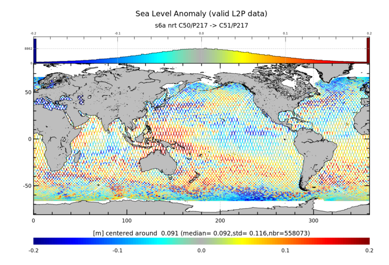
Contents: along-track corrected sea surface heights wrt reference ellipsoid. Datasets of 1Hz spatial resolution for all missions + datasets of 20Hz spatial resolution for Copernicus Sentinel-3A&B, Sentinel-6MF, Jason-3 in Short Time Critical (STC) and Near-Real-Time (NRT)
Use: stationary or long-term geophysical and ocean phenomenon studies.
Description: Mono altimeter satellite product, with corrections and geophysical parameters. Significant wave heights and backscatter coefficient are also provided (except for Sentinel-3A). Note that monomission products by definition are not intercalibrated at crossover points. Thus Jason-1 and Envisat data for example may not be homogeneous at a given point, since their orbits are different. Note also that these products are not corrected from Large Wavelength Error (LWE), unlike multimission Ssalto/Duacs products.
References:
Kocha, C., Pujol, M.-I., Prandi, P., Cadier, E., Philipps, S., Dibarboure, G., Maréchal, C., & Jouan, C. (2022). Analysis of the Sentinel-6A Michael Freilich L2P-L3 Sea Level Anomaly SAR-LRM bias correction. https://doi.org/10.24400/527896/A04-2022.001
Metadata
- File identifier
- d15dfad7-7f90-4aaf-95ee-a5bacb0342f2
- Metadata language
- Français
- Other language
-
Language Character encoding English UTF8
- Character set
- UTF8
- Hierarchy level
- Dataset
- Date stamp
- 2023-05-22T07:03:59.443Z
- Metadata standard name
-
ISO 19115:2003/19139 - SEXTANT
- Metadata standard version
-
1.0
accessData
Overviews
)))