Wave and wind along-track altmetry products (level3) NRT
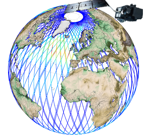
Along-track significant wave height (SWH) and wind speed modulus for the following missions : CFOSAT (nadir), Sentinel-3A, Sentinel-3B, Jason-3, Saral-AltiKa, Cryosat-2 and HY-2B in Near-Real Time (NRT) for a global coverage (-66°S/66+N for Jason-3, -80°S/80°N for Sentinel-3A and Saral/AltiKa).
SWH measurements are computed from the leading edge of the altimeter waveform. For Sentinel-3A and 3B, they are deduced from the SAR altimeter.
One file containing valid SWH is produced for each mission and for a 3-hour time window. It contains the filtered SWH (VAVH), the unfiltered SWH (VAVH_UNFILTERED) and the wind speed (wind_speed).
Simple
- Title
-
Wave and wind along-track altmetry products (level3) NRT
- Date (Creation)
- 2017-06-15
- Abstract
-
Along-track significant wave height (SWH) and wind speed modulus for the following missions : CFOSAT (nadir), Sentinel-3A, Sentinel-3B, Jason-3, Saral-AltiKa, Cryosat-2 and HY-2B in Near-Real Time (NRT) for a global coverage (-66°S/66+N for Jason-3, -80°S/80°N for Sentinel-3A and Saral/AltiKa).
SWH measurements are computed from the leading edge of the altimeter waveform. For Sentinel-3A and 3B, they are deduced from the SAR altimeter.
One file containing valid SWH is produced for each mission and for a 3-hour time window. It contains the filtered SWH (VAVH), the unfiltered SWH (VAVH_UNFILTERED) and the wind speed (wind_speed).
- Credit
-
Marine Core Service (Copernicus)
- Point of contact
-
Organisation name Individual name Electronic mail address Role CMEMS
Service Desk
Dissemination Unit
-
Centre de données ODATIS
-
-
CDS-SAT-AVISO
-
- Keywords
-
-
vague, hauteur de vague
-
-
Type de jeux de donnée ODATIS
-
-
/Remote sensing
-
-
Thèmatiques ODATIS
-
-
Operational oceanography
-
-
Processing level
-
-
Level 3
-
-
ODATIS aggregation parameters and Essential Variable names
-
-
Waves
-
Wind
-
- Use limitation
-
Licence
- Access constraints
- Other restrictions
- Use constraints
- Other restrictions
- Other legal constraints
-
Les conditions d'utilisation sont détaillées dans la licence : https://marine.copernicus.eu/services-portfolio/service-commitments-and-licence/
- Spatial representation type
- Grid
- Language
- Français
- Character set
- UTF8
- Topic category
-
- Oceans
))
- Begin date
- 2017-07-07
- Reference system identifier
- EPSG / WGS 84 (EPSG:4326) / 7.4
- Geometric object type
- Complex
- Distribution format
-
Name Version
- OnLine resource
-
Protocol Linkage Name WWW:LINK-1.0-http--metadata-URL
http://marine.copernicus.eu/services-portfolio/access-to-products/?option=com_csw&view=details&product_id=WAVE_GLO_WAV_L3_SWH_NRT_OBSERVATIONS_014_001 Plus d'information sur CMEMS
WWW:LINK
ftp://nrt.cmems-du.eu/Core/WAVE_GLO_WAV_L3_SWH_NRT_OBSERVATIONS_014_001/dataset-wav-alti-l3-swh-rt-global-al Accès authentifié aux données via FTP
- Hierarchy level
- Dataset
- Statement
- Contents: multimission sea surface heights computed with respect to a twenty-year mean, along-track or gridded with a 1/8°x1/8° spatial resolution on a cartesiangrid. Use: regional studies; ocean variability (mesoscale circulation, seasonal variation...), including operational oceanography (near-real time products) Condition of access: Ssalto/Duacs gridded geostrophic velocities products are devoted to scientific applications and non-commercial use (conditions of use are detailed in the licence agreement). All Ssalto/Duacs product users need an account, see Access to Ssalto/Duacs data. Data access service: see Data access service. FTP delivers the gridded and along-track data (the most recent data day-0 in NRT). Whereas the Opendap/geographic-temporal extraction tool/LAS only delivers gridded data more than one month. Description: regional product resulting from specific processes, available in near-real time. For gridded merged data, each map represents the sea state for a given day as a snapshot of the ocean. A formal mapping error variable is also available in the MSLA file. Geostrophic velocity anomalies are delivered in a specific file. Geographic coverage: Mozambique area (30.0625°E, 59.9375°E / -29.9375°S)
Metadata
- File identifier
- ef4a4f2f-cc96-4e8c-81a5-7ed579806a6b
- Metadata language
- Français
- Other language
-
Language Character encoding English UTF8
- Character set
- UTF8
- Hierarchy level
- Dataset
- Date stamp
- 2021-07-26T16:06:48
- Metadata standard name
-
ISO 19115:2003/19139 - SEXTANT
- Metadata standard version
-
1.0
accessData
Overviews
)))