3D PREVIMER Modelling : current, temperature, salinity and turbidity in the English Channel and Bay of Biscay
3D PREVIMER Modelling : current, temperature, salinity and turbidity in the English Channel and Bay of Biscay Modélisation
Period 2010-2013 + 4-day forecasts
Simple
- Title
-
3D PREVIMER Modelling : current, temperature, salinity and turbidity in the English Channel and Bay of Biscay
- Date (Creation)
- 2010-01-01T00:00:00
- Citation identifier
- FR-DCSMM-PDS-BD_PREVIMER_F1
- Presentation form
- Digital profile
- Abstract
-
3D PREVIMER Modelling : current, temperature, salinity and turbidity in the English Channel and Bay of Biscay Modélisation
Period 2010-2013 + 4-day forecasts
- Credit
-
Data producer : Ifremer
- Status
- On going
- Point of contact
-
Organisation name Individual name Electronic mail address Role IFREMER
Dumas Franck
Local service desk
- Maintenance and update frequency
- Continual
- Maintenance note
-
Network duration: perennial Network
- Theme
-
-
Modeling
-
3D currents
-
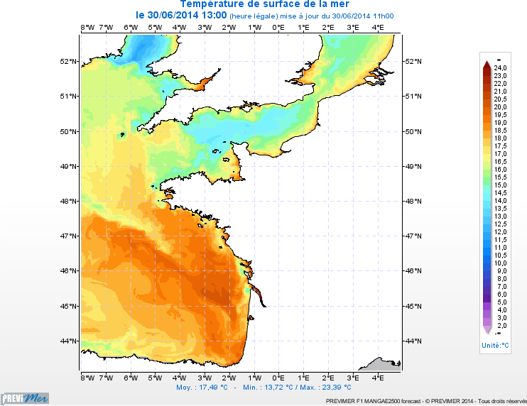
Temperature
-
Salinity
-
Turbidity
-
Channel, Bay of Biscay
-
MANGA
-
MARS3D
-
-
GEMET - INSPIRE themes, version 1.0
-
-
Oceanographic geographical features
-
-
Sous-regions marines
-
-
Bay of Biscay
-
Channel-North Sea
-
-
DCSMM : Type d'espace concerné
-
-
Pas d'espace particulier concerné
-
-
DCSMM : Descripteurs
-
-
D7: Hydrographical Conditions
-
-
DCSMM : Méthodes de recueil des données
-
-
Observation par point
-
Observation indirecte
-
Observation directe
-
-
Thèmes Sextant
-
-
/Physical Environment/Coastal Hydrodynamics
-
- Access constraints
- Other restrictions
- Other legal constraints
-
Restricted access.
Ifremer data. Free access, application access on http://www.previmer.org/produits
- Use limitation
-
Data can be viewed but not downloaded.
Free viewing on the site http://www.previmer.org
- Spatial representation type
- Vector
- Denominator
- 500000
- Language
- Français
- Character set
- UTF8
- Topic category
-
- Oceans
))
- Supplemental Information
-
Project leader :
IFREMER
Prime contractor :
IFREMER
Backers:
IFREMER 2008
FEDER, Brittany Region, CG29, BMO 2008
- Reference system identifier
- EPSG / WGS 84 (EPSG:4326) / 7.9
- Topology level
- Geometry only
- Geometric object type
- Complex
- Geometric object count
- 0
- OnLine resource
-
Protocol Linkage Name WWW:LINK
http://www.previmer.org/previsions/temperature_et_salinite/modele_mars3d_manche_gascogne Modèle MARS3D Manche-Gascogne
- Hierarchy level
- Dataset
Conformance result
- Title
-
Inspire specifications
- Date (Creation)
- 2012-01-16
- Explanation
-
Non assessed
- Pass
- Statement
-
Modelling data produced within the context of the PREVIMER project (CPER 2008-2013) using atmospheric forecasts from Météo-France, partner of the PREVIMER project. Use of river flow data provided by various water agencies and Departmental Public Works Directorates.
Number of observation or measurement points : from 508200 grid points * 30/40 generalised Sigma levels for the largest scope.
78489 points for the Adour area, 109824 for the Gironde area, 104304 for the Loire area, 158304 for the Finistère area, 119879 for the North Brittany area, 75579 for the Seine area and 162624 for the Nord Pas de Calais area.
Model data is checked daily via comparisons with temperature data from satellite observations (MyOcean products L2 and L3).
- Description
-
3 versions available :
• Former version PREVIMER_F1-MARS3D-MANGA4000 based on the MARS V8 (Ifremer) calculation code without turbidity.
• New version PREVIMER_F1-MARS3D-MANGAE4000 based on the MARS V9 calculation code with turbidity.
• New version PREVIMER_F1-MARS3D-MANGA2500 with zooms on AGRIF Adour, Gironde, Loire, Finistère, Nord Bretagne, Seine & Nord Pas de Calais based on the MARS version 9 (Ifremer) calculation code.
All of the models are forced by Météo-France’s ARPEGE-HR atmostperic forecasts.
Limit forcing by the Mercator Ocean PSY2V4 mode distributed by MyOcean
Ricer flow provided by various water agencies and Departmental Public Works Directorates
Linked to PREVIMER_WW3 wave models for turbidity calculations
- Description
-
Data type :
Modelling data
Precision on the data type :
Models based on Ifremer’s MARS3D calculation code
Measured or observed parameters : : 3D currents, temperature, salinity, turbidity
Parameters resolution : 4000 m over 30 generalised sigma levels
2500 & 500m over 40 generalised sigma levels
Update frequency : 24h
Observation frequency : 1h
- Description
-
Sampling method : spatial
Metadata
- File identifier
- f4e59505-d883-4d4f-9f32-82b11e39303f
- Metadata language
- Français
- Other language
-
Language Character encoding English
- Character set
- UTF8
- Hierarchy level
- Series
- Date stamp
- 2020-06-04T00:28:41
- Metadata standard name
-
ISO 19115:2003/19139 - SEXTANT
- Metadata standard version
-
1.0
- Metadata author
-
Organisation name Individual name Electronic mail address Role Sextant
Local service desk
accessData
Overviews
)))