Habitat characterisation | Medium scale habitat maps | EMODnet Secretariat | EUNIS habitat maps from surveys - Medium scale
Simple
Identification info
- Alternate title
-
EUNIS habitat maps from surveys - Medium scale
- Date
- Citation identifier
- Habitat characterisation | Medium scale habitat maps | EMODnet Secretariat | EUNIS habitat maps from surveys - Medium scale
- Convention
-
EMODnetSBH_MediumScale_SurveyMaps_EUNIS_v20150827.zip
- Purpose
-
Medium scale habitat map containing data in the European standard EUNIS classification system
- Status
- On going
- Point of contact
-
Organisation Individual Electronic mail address ORCID Role EMODnet Seabed Habitats
EMODnet Seabed Habitats
edmerp EMODnet Secretariat
edmo
- Spatial representation type
- Vector
- Topic category
-
- Oceans
Extent
))
Extent
- Time period
- 1900-01-01T00:00:00
- Maintenance and update frequency
- As needed
- Used by challenges
-
-
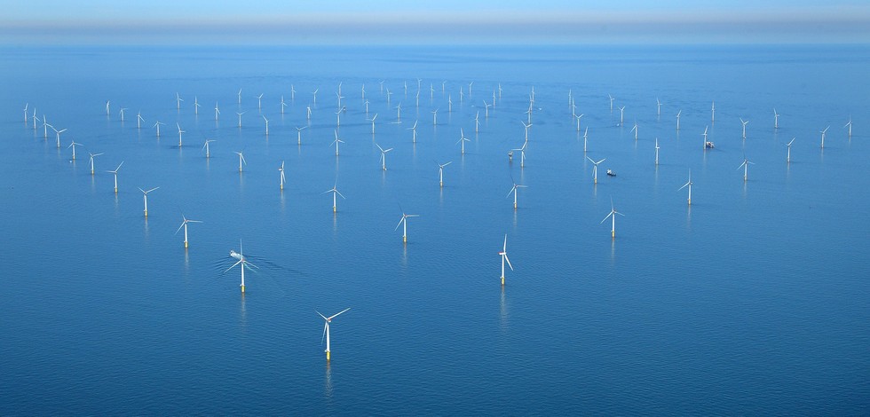
Atlantic - CH01 - Windfarm Siting
-
- Environmental matrix
-
-
Biota - Biology
-
- Production mode
-
-
Delayed
-
- Visibility
-
-
Search via reference catalogue (e.g. MyOcean, GEOSS Geoportal…)
-
- Policy visibility
-
-
There is detailed information provided to understand data policy
-
- Readyness
-
-
Format not proprietary and content clearly specified (e.g. autodescriptive like ODV, NetCDF CF) or at least with appropriate document describing the content
-
- Parameter Discovery Vocabulary (P02)
-
-
Habitat characterisation
-
- GEMET - INSPIRE themes, version 1.0
-
-
Habitats and biotopes
-
- Processing level of characteristics
-
-
High level analyzed
-
- Data delivery mechanisms
-
-
Online discovery + downloading + viewing services (Advanced services)
-
- Parameter Usage Vocabulary (other)
-
-
Medium scale habitat maps
-
- Agreed Parameter Groups (P03)
-
-
Habitat
-
- Service extent
-
-
The datasets are provided through an EU Inspire catalogue service (OGC)
-
- Validation
-
-
Submitted
-
Resource constraints
- Access constraints
- Other restrictions
- Other constraints
-
Unrestricted
Resource constraints
- Use limitation
-
Open and Free. No charge
- Language
- Français
- Character encoding
- UTF8
- Environment description
-
Habitat maps will be used for determining fitness for use data assessment for OWF siting
Content Information
- Attribute description
- observation
- Content type
- Physical measurement
- Description
-
NA
Distribution Information
- Distribution format
-
-
ESRI Shapefile
-
- OnLine resource
-
Spatial data downloads
- OnLine resource
-
EUNIS habitat maps from surveys - Medium scale
ATLANTIC_CH01_Product_1 / Map of offshore windfarm siting suitability in the geographic area where waters of France, Ireland and UK meet
))
- Begin date
- 2006-01-01
- End date
- 2015-12-31
Vertical element
- Minimum value
- 0
- Maximum value
- 0
Resource lineage
- Hierarchy level
- Dataset
Spatial representation info
- Dimension name
- Time
- Cell geometry
- Transformation parameter availability
- true
- Check point availability
- true
Metadata
- Metadata identifier
- urn:uuid/f565cd5e-4039-43db-a9e3-6d641ffd0fe0
- Language
- English
- Character encoding
- UTF8
- Contact
-
Organisation Individual Electronic mail address ORCID Role Instituto Português do Mar e da Atmosfera (IPMA)
Type of resource
- Resource type
- Dataset
- Name
-
Atlantic - CH01 - Windfarm Siting
- Metadata linkage
-
https://sextant.ifremer.fr/geonetwork/srv/eng//metadata/f565cd5e-4039-43db-a9e3-6d641ffd0fe0
- Metadata linkage
-
https://sextant.ifremer.fr/geonetwork/srv/fre//metadata/f565cd5e-4039-43db-a9e3-6d641ffd0fe0
- Date info (Revision)
- 2018-04-24T15:02:10Z
- Date info (Creation)
- 2014-10-08T14:35:32
Metadata standard
- Title
-
ISO 19115-3 - Emodnet Checkpoint - Upstream Data
- Edition
-
1.0
EMODnetSBH_MediumScale_SurveyMaps_EUNIS_v20150827.zip
accessData
Overviews
Spatial extent
)))