IWWOC Antarctic Sea Ice Backscatter Gridded Level 3 Composite from SCAT onboard CFOSAT
Backscatter values over sea ice are a function of incidence angle and the sea ice type. With several SCAT incidence measurements, an incidence adjustment is mandatory over sea ice (Gohin and Cavanié 1994) to map daily averaged backscatter values accurately for geophysical use as it was done for the NSCAT Ku-band sensor. An incidence-adjustment backscatter map at 40° incidence angle is thus built in order to have reliable daily averaged backscatter maps.
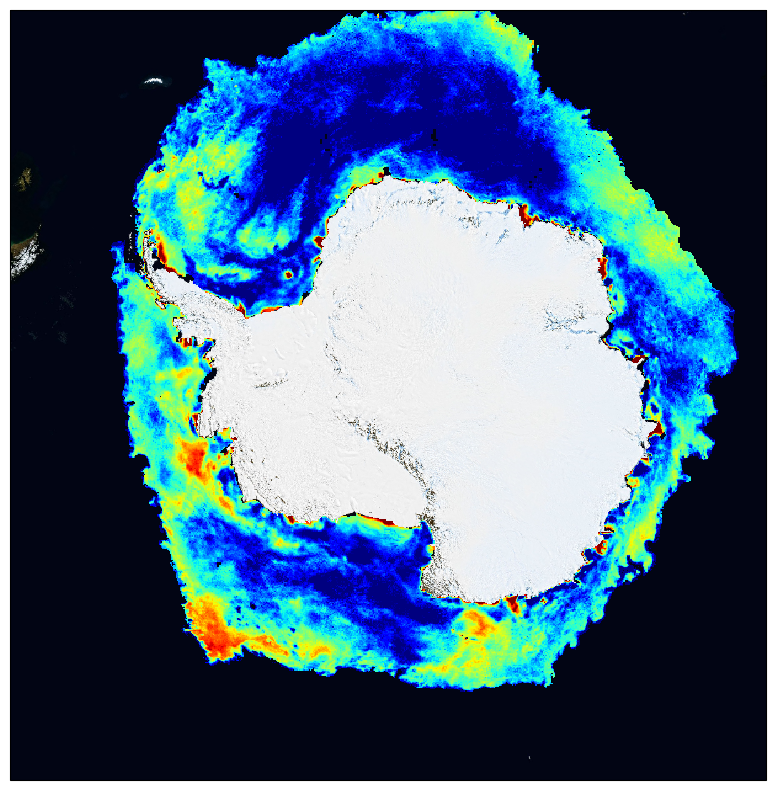
This dataset contains antarctic polar stereographic 12 km resolution grids of averaged backscatter coefficient from SCAT onboard CFOSAT scatterometer over sea-ice, for each polarization (HH and VV). CFOSAT (Chinese French Ocean SATellite) is a french-chinese mission launched in 2018, whose aim is to provide wind (SCAT instrument) and wave (SWIM instrument) measurements over the sea surface.
The grids are derived from swath sigma-naught data (CWWIC SCAT Level 1A product), averaged over one day. Sea ice roughness from the scatterometer backscatter can be used later for sea ice type detection (multi-year ice, first-year ice), sea ice edge (by discriminating open water from sea-ice) and later sea ice displacement maps . In the case of CFOSAT, the HH and VV polarization ratio can be used for sea ice studies, in particular sea ice edge criteria and ice type classification.
Access to the data is free and open. In order to be informed about changes and to help us keep track of data usage, we encourage users to register at: https://forms.ifremer.fr/lops-siam/access-to-iwwoc-cfosat-data/
This dataset is generated and distributed by IFREMER / CERSAT in the frame of the IFREMER Wind and Wave Operation Center (IWWOC) co-funded by IFREMER and CNES and dedicated to the processing of the delayed mode data of CFOSAT mission.
Data access
/home/ref-cfosat-public/datasets/sca_l3ice_/antarctic/12.5km/
Product
Observation source(s)
CFOSAT / RFSCATTemporal
Spatial
