WOC Fronts Derived from Remote Sensing Microwave SST L4 over North Atlantic Region
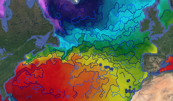
This dataset provides detections of fronts derived from low resolution optimally interpolated remote sensing microwave SST L4 from REMSS over North Atlantic region.
The data are available through HTTP and FTP; access to the data is free and open. In order to be informed about changes and to help us keep track of data usage, we encourage users to register at: https://forms.ifremer.fr/lops-siam/access-to-esa-world-ocean-circulation-project-data/
This dataset was generated by OceanDataLab and is distributed by Ifremer / CERSAT in the frame of the World Ocean Circulation (WOC) project funded by the European Space Agency (ESA).
Publication date
2022-05-03
/Ocean Circulation/Fronts
Data access
Access policy
Unrestricted
Usage policy
CC-BY (Creative Commons - Attribution)
Format(s)
JSON
FTP
HTTPS
Citation
OceanDataLab, 2022. Fronts Derived from Remote Sensing Microwave SST L4 over North Atlantic Region from ESA WOC project. Ver. 2.0. Obtained from CERSAT / Ifremer, Plouzane, France. Dataset accessed [YYYY-MM-DD].
ID: WOC-L4-FRONTS-NATL_1D_025
Project(s)
WOC
Product
Level
Niveau
L4
Acquisition pattern
Type d'acquisition
snapshot
Latency
Latence
Historical
Observation source(s)
GCOM-W1 / AMSR-2, Coriolis / WindSat, TRMM / TMITemporal
Temporal properties
Couverture temporelle
01-01-2010
31-12-2021
Resolution
Résolution
P0Y0M1DT0H0M0S
Spatial
Geographic area
Zone géographique
North Atlantic
Resolution
Résolution
0.25 deg
Projection
Projection
WGS 84 (EPSG:4326)
Bounding box
Limites géographiques
Latitude 25.00 to
60.00,
Longitude -80.00 to
5.00
