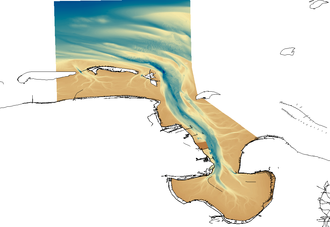
1850 HRDTM 1/512 Jade approach
High resolution composite DTM based on single beam, multi beam and Lidar covering the Jade and Jade approach. All data acquired in the years 2009-2012.
What
Metadata details
- File identifier
- SDN_CPRD_1850_DGMW_JADE
- Catalogue type
-
Composite Product Record
-
Project name
-
-
EMODNet Bathymetry
-
- Dissemination level
-
public
- Metadata language
- English
- Date stamp
- 2022-11-04T14:47:56.271Z
Identification
- Dataset name
-
1850 HRDTM 1/512 Jade approach
- Short name of dataset (SDN Local Product-ID)
-
DGMW_JADE
-
Parameter Discovery Vocabulary (P02)
-
-
Bathymetry and Elevation
-
-
SeaDataNet device categories
-
-
single-beam echosounders
-
multi-beam echosounders
-
-
SeaDataNet device categories
-
-
Differential Global Positioning System receivers
-
Geometry
- Spatial representation type
- Grid
- Number of columns
- 12288
- Number of lines
- 23040
- Pixel size
- 0.0019531 Arc minute
- Maximum scale of use
- 5000
Abstract
- Dataset description abstract
-
High resolution composite DTM based on single beam, multi beam and Lidar covering the Jade and Jade approach. All data acquired in the years 2009-2012.
- Description of processed data sources
-
CDIs: 96_32121_12, 96_32122_12, 963412_12, 962611_11, 96_33123_12, 96_33121_12, 96_33122_12, 96_32123_12, 96_32124_12, 96_3211_11, 96_JWED_16_10, 96_JWED_14_09, 96_JWED_17_09
- Description of data processing
-
Description of data processing :
Quality
Accuracy / Calibration
Quality Indicators
- Horizontal Quality Indicator
- 3 - < 20 m
- Vertical Quality Indicator
- 3 - Lidar, SBES high frequency
- Purpose Quality Indicator
- 3 - Hydrographic survey or compatible with hydrographic standards
Where
))
- Min. depth in meters (>0 below Sea Level)
- 0
- Max. depth in meters (>0 below Sea Level)
- 40.2
Projection
- code
-
WGS84 (EPSG:4326)
- Version or custom projection details
-
7.4
When
Creation date
Revision date
Temporal extent*
- Begin
- 2009-03-18
- End
- 2012-07-31
Who
Originator
- Organisation name
-
Federal Maritime and Hydrographic Agency
Data Holding Center
- Organisation name
-
Federal Maritime and Hydrographic Agency
Collating Centre = Metadata author
- Organisation name
-
Federal Maritime and Hydrographic Agency
Access
Distributor
- Organisation name
-
Federal Maritime and Hydrographic Agency
Data formats*
- Format
-
ESRI Grid, ASCII Grid
- Transfer size (in MB)
- 600
- OnLine resource
-
Protocol Linkage Name WWW:LINK
http://www.bsh.de WWW:LINK-1.0-http--link
https://emodnet.ec.europa.eu/geoviewer EMODnet viewer
WWW:LINK
https://tiles.emodnet-bathymetry.eu/ EMODnet Bathymetry WMTS service
- OnLine resource
Intellectual property
- Access constraints
- Creative Commons Attribution 4.0 International
- Use constraints
- Other restrictions
- Other constraints
-
DO NOT USE FOR NAVIGATION
)))