2243_EMODNet DTM of the Belgian Laser Altimetry Surveys for the coastal waters
Source data for the EMODNet DTM for the Belgium Coastal Waters is compiled by the Vlaamse Hydrografie ( http://www.afdelingkust.be/en/bathymetric-database) at a resolution of 1/512 arc minute.
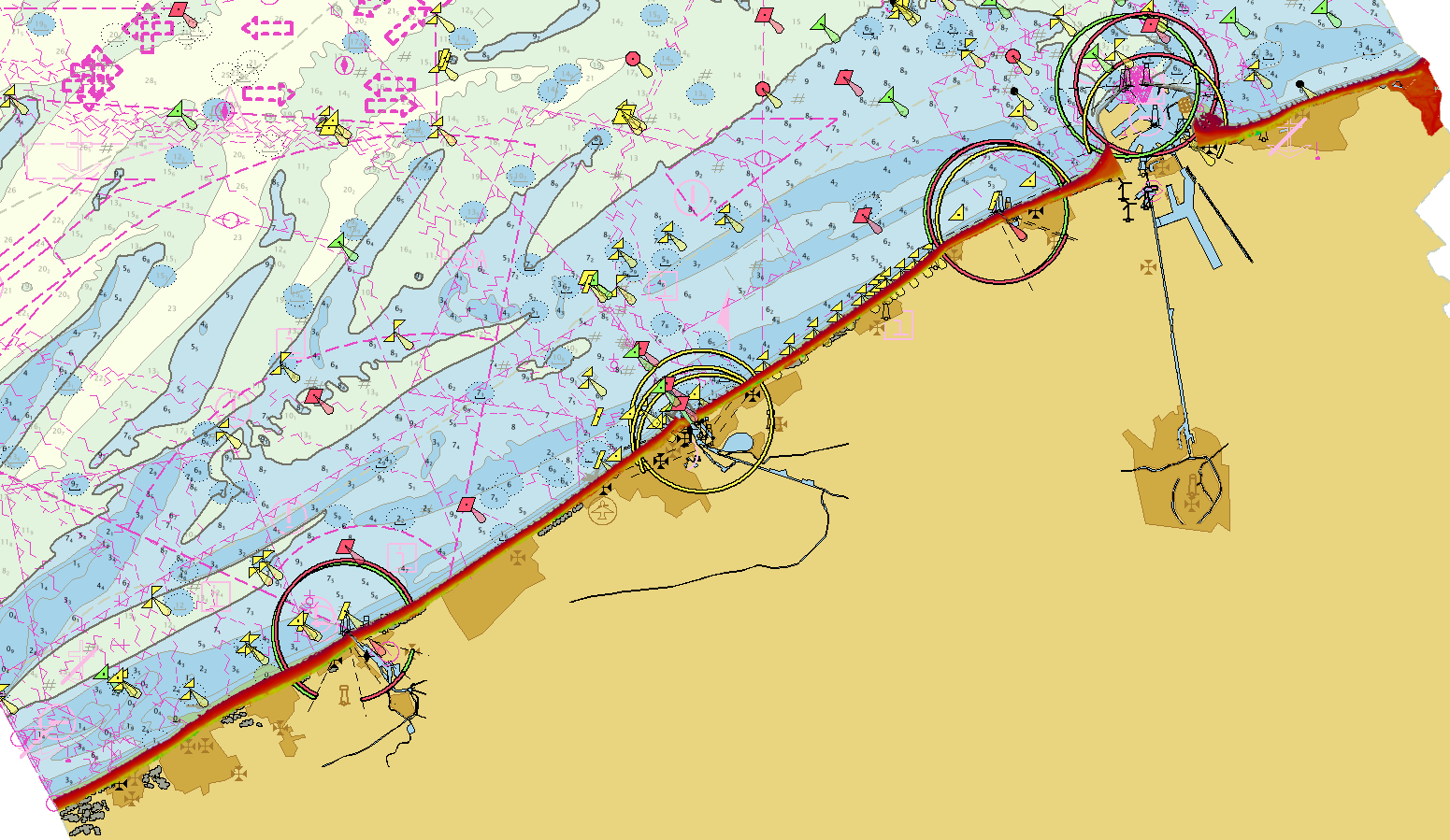
The data set covers dry coast and dunes along the Belgian coast.
What
Metadata details
- File identifier
- SDN_CPRD_2243_BELGIUM_LIDAR_COASTAL_DTM010218
- Catalogue type
-
Composite Product Record
-
Project name
-
-
EMODnet HRSM
-
- Dissemination level
-
public
- Metadata language
- English
- Date stamp
- 2022-09-20T15:28:59.651Z
Identification
- Dataset name
-
2243_EMODNet DTM of the Belgian Laser Altimetry Surveys for the coastal waters
- Short name of dataset (SDN Local Product-ID)
-
BELGIUM_LIDAR_COASTAL_DTM010218
-
Parameter Discovery Vocabulary (P02)
-
-
Bathymetry and Elevation
-
-
SeaDataNet device categories
-
-
laser altimeters
-
Geometry
- Spatial representation type
- Grid
- Pixel size
- 0.001953 Arc minute
- Maximum scale of use
- 50000
Abstract
- Dataset description abstract
-
Source data for the EMODNet DTM for the Belgium Coastal Waters is compiled by the Vlaamse Hydrografie ( http://www.afdelingkust.be/en/bathymetric-database) at a resolution of 1/512 arc minute.
The data set covers dry coast and dunes along the Belgian coast.
- Description of processed data sources
-
Description of processed data sources: Description of processed data sources: various laser altrimetry surveys collected for compilation of nautical charts and to follow coastal erosion.
- Description of data processing
-
Description of data processing :
The original data is delivered in longitude/latitude (non projected) coordinates in the EMODnet format adding the required field using the CARIS BathyDatabase software suite.
List of the survey projects used to combine the EMODNet DTM for the Belgium Coastal Zone:
2017_voja_Zone_A_maa LIDAR De_Panne - Oostduinkerke 1/512 arc
2017_voja_Zone_B_maa LIDAR Oostduinkerke - Nieuwpoort 1/512 arc
2017_voja_Zone_C_maa LIDAR Nieuwpoort - Middelkerke 1/512 arc
2017_voja_Zone_D_maa LIDAR Westende – Middelkerke 1/512 arc
2017_voja_Zone_E_maa LIDAR Middelkerke - Oostende 1/512 arc
2017_voja_Zone_F_maa LIDAR Oostende - Bredene 1/512 arc
2017_voja_Zone_G_maa LIDAR Bredene - Wenduine 1/512 arc
2017_voja_Zone_H_maa LIDAR Wenduine - Blankenberge 1/512 arc
2017_voja_Zone_I_maa LIDAR Blankenberge - Zeebrugge 1/512 arc
2017_voja_Zone_J_maa LIDAR Heist - Zwin 1/512 arc
2017_voja_Zone_K_maa LIDAR Zwin - Cadzand 1/512 arc
- Processing software
-
CARIS BathyDatabase software suite
Quality
Accuracy / Calibration
Hor. accuracy
- Measure description
-
IHO S-44
- Value
- IHO S-44
- Evaluation method description
-
IHO S-44
Vert. accuracy
- Measure description
-
IHO S-44
- Evaluation method description
-
IHO S-44
Quality Indicators
- Horizontal Quality Indicator
- 3 - < 20 m
- Vertical Quality Indicator
- 4 - MBES High frequency (higher that 100kHz) (1+0.5%d)
- Purpose Quality Indicator
- 3 - Hydrographic survey or compatible with hydrographic standards
Where
))
- Min. depth in meters (>0 below Sea Level)
- -0.2
- Max. depth in meters (>0 below Sea Level)
- 29.7
Projection
- code
-
ETRS89 (EPSG:4258)
- Version or custom projection details
-
8.6
When
Creation date
Revision date
Temporal extent*
- Begin
- 2017-05-26T09:00:00
- End
- 2017-05-26
Who
Originator
- Organisation name
-
Flemish Ministry of Mobility and Public Works; Agency for Maritime and Coastal Services; Coastal Division
- Country
-
Belgium
Data Holding Center
- Organisation name
-
Flemish Ministry of Mobility and Public Works; Agency for Maritime and Coastal Services; Coastal Division
- Country
-
Belgium
Collating Centre = Metadata author
- Organisation name
-
Flemish Ministry of Mobility and Public Works; Agency for Maritime and Coastal Services; Coastal Division
- Country
-
Belgium
Access
Distributor
- Organisation name
-
Flemish Ministry of Mobility and Public Works; Agency for Maritime and Coastal Services; Coastal Division
- Country
-
Belgium
Data formats*
- Format
-
GeoTIFF
- Version
-
1.0
- Format
-
BAG
- Version
-
1.5.2
- Format
-
PNG
- Version
-
1.0
- Format
-
JPEG
- Version
-
1.0
- Format
-
XYZ Ascii
- Version
-
1.0
- OnLine resource
-
Protocol Linkage Name WWW:LINK
https://www.afdelingkust.be/en/bathymetric-database WWW:DOWNLOAD-1.0-link--download
https://downloads.emodnet-bathymetry.eu/high_resolution/2243_BELGIUM_LIDAR_COASTAL_DTM010218.emo.zip WWW:LINK
https://tiles.emodnet-bathymetry.eu/ EMODnet Bathymetry WMTS service
WWW:LINK-1.0-http--link
https://emodnet.ec.europa.eu/geoviewer EMODnet viewer
Intellectual property
- Access constraints
- Creative Commons Attribution 4.0 International
- Use constraints
- Other restrictions
- Other constraints
-
DO NOT USE FOR NAVIGATION
)))