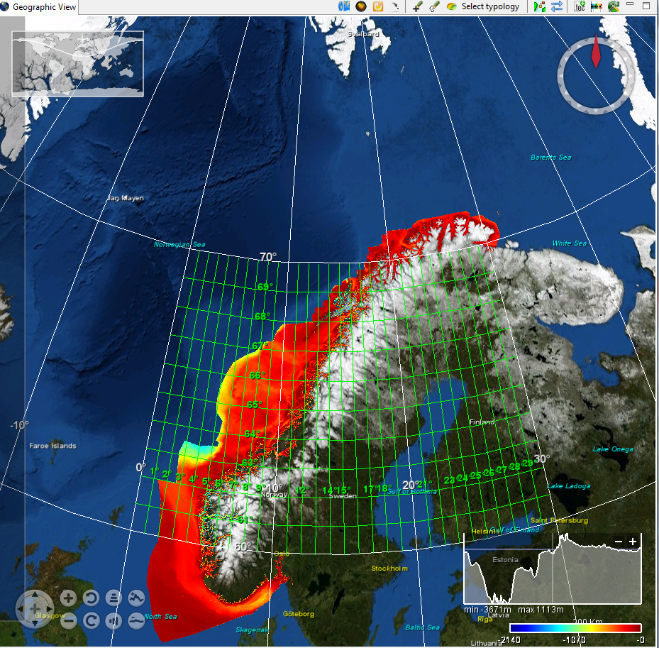
Norway coastal 50 m composite digital terrain model
The dataset was generated late autumn 2015 based on 50m grid generated in UTM zone 33 from Norwegian primary bathymetric data near shore. The new dataset has been tiled into 2*2 degree tiles, and replaces the previous data set based on surveyes before 2004.
What
Metadata details
- File identifier
- SDN_CPRD_543_Norway_kyst_50m
- Catalogue type
-
Composite Product Record
-
Project name
-
-
EMODNet Bathymetry
-
- Dissemination level
-
public
- Metadata language
- English
- Date stamp
- 2018-03-15T10:43:22
Identification
- Dataset name
-
Norway coastal 50 m composite digital terrain model
- Short name of dataset (SDN Local Product-ID)
-
Norway_kyst_50m
-
Parameter Discovery Vocabulary (P02)
-
-
Bathymetry and Elevation
-
-
Measuring devices
-
-
single-beam echosounders
-
multi-beam echosounders
-
-
Measuring devices
-
-
Motorola Mini-Ranger receivers
-
Kinematic Global Positioning System receivers
-
Hyperfix receivers
-
Ultra Short Baseline Positioning Systems
-
Geometry
- Spatial representation type
- Grid
- Pixel size
- 50 Metres (m)
- Maximum scale of use
- 50000
Abstract
- Dataset description abstract
-
The dataset was generated late autumn 2015 based on 50m grid generated in UTM zone 33 from Norwegian primary bathymetric data near shore. The new dataset has been tiled into 2*2 degree tiles, and replaces the previous data set based on surveyes before 2004.
- Description of processed data sources
-
Description of processed data sources :
- Description of data processing
-
Description of data processing :Done by use of TIN models
Quality
Accuracy / Calibration
Hor. accuracy
- Value
- 5
Suitability
- Suitability, Expected type of users / uses and limitations
-
Creative Commons license to apply : Attribution + Non Commercial + No Derivs (BY-NC-ND) : http://creativecommons.org/licenses/?lang=en
Where
))
- Min. depth in meters (>0 below Sea Level)
- 0.5
- Max. depth in meters (>0 below Sea Level)
- 2000
Projection
- code
-
WGS 84 (EPSG:4326)
- Version or custom projection details
-
7.4
When
Creation date
Revision date
Temporal extent*
- Begin
- 1991-01-01
- End
- 2006-01-01
Who
Originator
- Organisation name
-
Norwegian Hydrographic Service
Data Holding Center
- Organisation name
-
Norwegian Hydrographic Service
Collating Centre = Metadata author
- Organisation name
-
Norwegian Hydrographic Service
Access
Distributor
- Organisation name
-
Norwegian Hydrographic Service
Data formats*
- Format
-
Text
- Version
-
1
- Transfer size (in MB)
- 1024
- OnLine resource
-
Protocol Linkage Name WWW:LINK
http://www.statkart.no/eng/Norwegian_Hydrographic_Service/ About Norwegian Hydrographic service (NHS)
Intellectual property
- Use limitation
-
Creative Commons license to apply : Attribution + Non Commercial + No Derivs (BY-NC-ND) : http://creativecommons.org/licenses/?lang=en
- Access constraints
- License
- Use constraints
- Copyright
)))