X-TRACK, Along track Tidal Constants
The CTOH computes and distributes delayed-time regional along-track tidal constants estimated from its along-track 1Hz sea level anomalies (SLA) products. SLA time series have been computed with the X-TRACK processor for the whole Topex/Poseidon, Jason-1, Jason-2 and Topex/Poseidon interleaved, Jason-1 interleaved period applying the latest reprocessing CTOH standards.
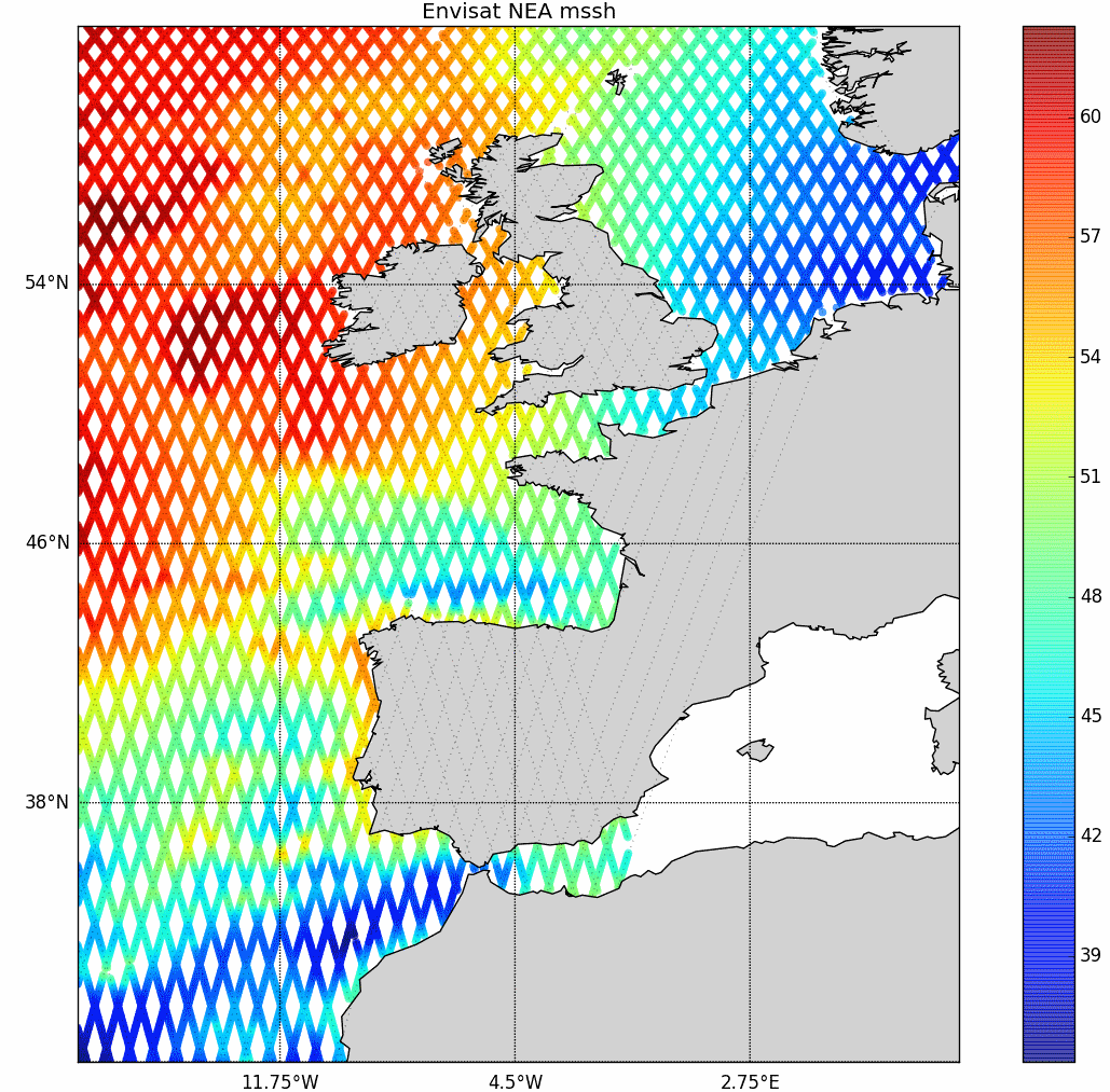
CTOH tidal constants product contains along-track estimates of amplitude, phase lag for each tidal constituent, that can be recovered locally with CTOH specific harmonic analysis software.
Spatial locations of tidal estimates along the altimeter ground track are indicated in latitude and longitude variables.
Simple
- Title
-
X-TRACK, Along track Tidal Constants
- Date (Creation)
- 1993-02-01
- Date (Publication)
- 2018-06-15
- Abstract
-
The CTOH computes and distributes delayed-time regional along-track tidal constants estimated from its along-track 1Hz sea level anomalies (SLA) products. SLA time series have been computed with the X-TRACK processor for the whole Topex/Poseidon, Jason-1, Jason-2 and Topex/Poseidon interleaved, Jason-1 interleaved period applying the latest reprocessing CTOH standards.
CTOH tidal constants product contains along-track estimates of amplitude, phase lag for each tidal constituent, that can be recovered locally with CTOH specific harmonic analysis software.
Spatial locations of tidal estimates along the altimeter ground track are indicated in latitude and longitude variables.
- Credit
-
CTOH
- Point of contact
-
Organisation name Individual name Electronic mail address Role CTOH
Author AVISO+
Local service desk CTOH
Publisher
-
Centre de données ODATIS
-
-
CDS-SAT-AVISO
-
- Keywords
-
-
amplitude, phase
-
-
Type de jeux de donnée ODATIS
-
-
/Remote sensing
-
-
Thèmatiques ODATIS
-
-
Remote sensing
-
-
Services Nationaux d'Observation
-
-
SNO-CTOH
-
-
ODATIS aggregation parameters and Essential Variable names
-
-
Tides
-
- Use limitation
- Licence
- Access constraints
- Other restrictions
- Use constraints
- Other restrictions
- Other legal constraints
-
These datasets are delivered for scientific applications and non-commercial use. The specific license conditions are detailed in https://www.aviso.altimetry.fr/fileadmin/documents/data/License_Aviso.pdf.
You must give appropriate credits and acknowledgments : "These products (doi 10.6096/CTOH_X-TRACK_Tidal_2018_01) were developed, validated and distributed by CTOH/LEGOS France. Publications should include the following statement in the Acknowledgments: “Altimetry data used in this study (doi 10.6096/CTOH_X-TRACK_Tidal_2018_01) were developed, validated by the CTOH/LEGOS, France and distributed by Aviso+”.
- Spatial representation type
- Grid
- Language
- Français
- Character set
- UTF8
- Topic category
-
- Oceans
))
- Begin date
- 1993-02-01
- End date
- 2015-07-15
- Geometric object type
- Complex
- Distribution format
-
Name Version NetCDF
CF
- Distributor contact
-
Organisation name Individual name Electronic mail address Role
- OnLine resource
-
Protocol Linkage Name WWW:LINK
https://www.aviso.altimetry.fr/fileadmin/documents/data/tools/hdbk_XTRACKtidal_CTOH.pdf Manuel utilisateur
WWW:LINK
https://www.aviso.altimetry.fr/fileadmin/documents/data/tools/hdbk_XTRACKtidal_CTOH.pdf Manuel utilisateur
WWW:LINK
https://www.aviso.altimetry.fr/data/products/auxiliary-products/coastal-tide-xtrack.html Plus d'information sur AVISO+
WWW:LINK
https://www.aviso.altimetry.fr/fileadmin/documents/data/tools/hdbk_XTRACKtidal_CTOH.pdf Manuel utilisateur
WWW:LINK
ftp://LOGIN:PASSWORD@ftp-access.aviso.altimetry.fr/auxiliary/xtrack_tide_coastal Accès authentifié aux données via FTP
WWW:LINK-1.0-http--metadata-URL
http://ctoh.legos.obs-mip.fr/data/datasets/X-TRACK_TidalConstants 10.6096/CTOH_X-TRACK_Tidal_2018_01
WWW:DOWNLOAD-1.0-link--download
https://dataterra:odatis@tds-odatis.aviso.altimetry.fr/thredds/catalog/dataset-auxilary-xtrack-tide-coastal/catalog.html TDS fileserver X-Track tides
- Hierarchy level
- Dataset
- Statement
-
Contents: Along-track Sea Level Anomalies projected onto the reference tracks with a spatial interval of about 6-7 km between points (1 second). Specific processing (developed at LEGOS) has been made using the latest corrections available.
Birol, F., N. Fuller, F. Lyard, M. Cancet, F. Niño, C. Delebecque, S. Fleury, et al. 2016. “Coastal Applications from Nadir Altimetry: Example of the X-TRACK Regional Products.” Advances in Space Research, November. doi:10.1016/j.asr.2016.11.005.
Use: coastal applications
Description: multimission altimeter satellite product in delayed time
Metadata
- File identifier
- 5fc6d31e-8493-452e-920b-6ec9ee36931d
- Metadata language
- Français
- Other language
-
Language Character encoding English UTF8
- Character set
- UTF8
- Hierarchy level
- Dataset
- Date stamp
- 2022-06-02T09:25:12.695Z
- Metadata standard name
-
ISO 19115:2003/19139 - SEXTANT
- Metadata standard version
-
1.0
accessData
Overviews
)))