The European Atlas of the Sea
The European Atlas of the Seas provides information about Europe’s marine environment. Users can view predefined and ready to use maps, covering topics such as environment, tourism, security, energy, transport, litter, sea bottom, fishing activity, aquaculture, and much more.
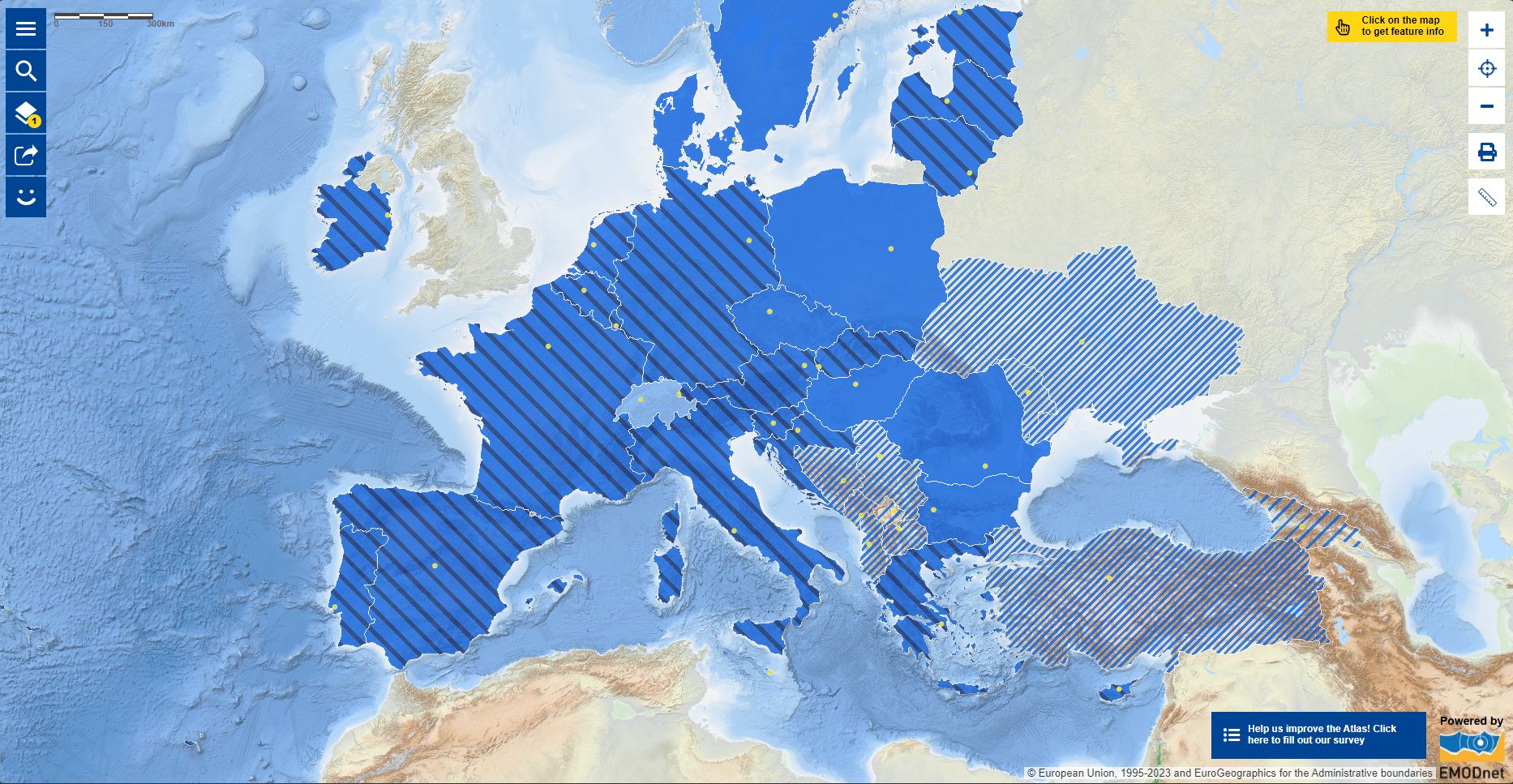
Users can also benefit from an enriched catalogue with more than 250 map layers, covering a wide range of topics, to explore, collate and create their own maps. These maps can be printed, shared and embedded in articles or presentations. The Atlas is the ideal tool for schools, researchers and professionals, or anyone wishing to know more about the European seas and its coastal areas.
In the context of the EU's integrated Maritime Policy, the European Atlas of the Seas offers easy to navigate data, as well as user-friendly tools to create and share your own maps on such topics as:
- Sea depth and underwater features
- Blue energies and maritime resources
- Maritime protected areas
- Tide amplitude and coastal erosion
- Fishing stocks, quotas and catches
- Coastal regions geography and statistics
- European fishing fleet
- Tourism
- Aquaculture
- Maritime transport and traffic
- Ports' statistics
- Maritime policies and initiatives
- Outermost regions
The European Atlas of the Seas has been developed by the European Commission, Directorate General for Maritime Affairs and Fisheries (DG MARE) of the European Commission.
Simple
Identification info
- Date (Publication)
- 2023-01-23
- Citation identifier
- b1aed284-736b-48ec-b177-c39af6eabcb3
- Credit
-
European Commission
- Point of contact
-
Organisation Individual Electronic mail address ORCID Role Resource provider
- Spatial representation type
- Grid
- Topic category
-
- Oceans
- Transportation
- Environment
- Farming
- Thèmes Sextant
-
-
/Biological Environment
-
- GEMET - INSPIRE themes, version 1.0
-
-
Environmental monitoring facilities
-
- Mission Atlantic - Resources
-
-
Database
-
Data
-
Tool
-
- Mission Atlantic - Case Studies
-
-
North Mid-Atlantic Ridge
-
Norwegian Sea
-
Canary Current system
-
Celtic Seas
-
- Mission Atlantic - BODC Parameters
-
-
/Biological oceanography
-
/Environment
-
/Human activities
-
/Physical oceanography
-
- Mission Atlantic - Data type (DMP)
-
-
Spatial data products
-
- Mission Atlantic - Work Package
-
-
WP3 Pelagic Mapping
-
Resource constraints
- Access constraints
- License
- Use constraints
- License
- Language
- English
- Character encoding
- UTF8
Distribution Information
- OnLine resource
-
Access to the atlas
Data quality info
- Hierarchy level
- Dataset
Report
Result
- Title
-
RÈGLEMENT (UE) N o 1089/2010 DE LA COMMISSION du 23 novembre 2010 portant modalités d'application de la directive 2007/2/CE du Parlement européen et du Conseil en ce qui concerne l'interopérabilité des séries et des services de données géographiques
- Date (Publication)
- 2010-12-08
- Explanation
-
See the referenced specification
Resource lineage
- Hierarchy level
- Dataset
Spatial representation info
- Number of dimensions
- 0
- Cell geometry
- Area
- Transformation parameter availability
- false
Metadata
- Metadata identifier
- b1aed284-736b-48ec-b177-c39af6eabcb3
- Language
- English
- Character encoding
- UTF8
- Contact
-
Organisation Individual Electronic mail address ORCID Role Flanders Marine Institute
Patricia Cabrera
Point of contact
- Metadata linkage
-
https://sextant.ifremer.fr/geonetwork/srv/api/records/b1aed284-736b-48ec-b177-c39af6eabcb3
- Date info (Creation)
- 2023-01-23T11:23:17.169Z
- Date info (Revision)
- 2025-05-15T23:47:03.300027Z
Metadata standard
- Title
-
ISO 19115-3 - SEXTANT
- Edition
-
1.0
accessData
Overviews